
Bauernhaus, human settlement in Austria
Location: Karlstein an der Thaya
Address: Obergrünbach 53
GPS coordinates: 48.87835,15.44451
Latest update: March 3, 2025 10:09

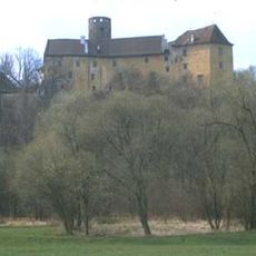
Burg Karlstein
3.2 km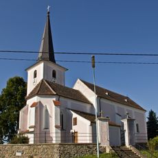
Kath. Pfarrkirche hl. Nikolaus
2 km
Pfarrkirche Obergrünbach
114 m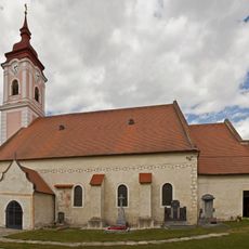
Pfarrkirche Weikertschlag
4.5 km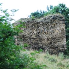
Burg Weikertschlag
4.3 km
Uhrenmuseum Karlstein
3 km
Klafferkapelle
4.3 km
Kath. Pfarrkirche hl. Bartholomäus
4.6 km
Rathaus Weikertschlag an der Thaya
4.4 km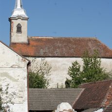
Ortskapelle hl. Laurenz, Liebnitz
3 km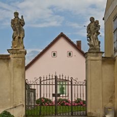
Friedhofsportal mit Figurenbekrönung
94 m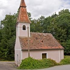
Ortskapelle Alberndorf
1.7 km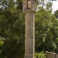
Tabernakelpfeiler
4.5 km
Hangenstein
2.2 km
Pfarrhof, Oberndorf bei Raabs
4.6 km
Pfarrhof Weikertschlag
4.5 km
Straßenstück der L8065, KG Alberndorf
2.1 km
Straßenstück der L8065, KG Speisendorf
1.9 km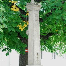
Pranger Weikertschlag
4.4 km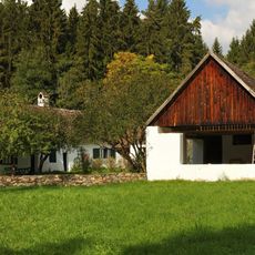
Hadermühle
3.1 km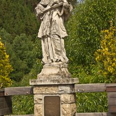
Figurenbildstock hl. Johannes Nepomuk
3.9 km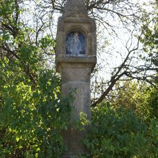
Schwarze Marter
4.3 km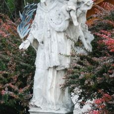
Figurenbildstock hl. Johann Nepomuk
2.9 km
Straßenstück der L8065, KG Raabs
3.2 km
Pfarrhof
4.6 km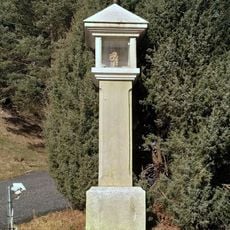
Wayside shrine
2.9 km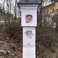
Wayside shrine
3 km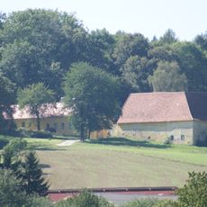
Gutshof Pommersdorf
4.5 kmReviews
Visited this place? Tap the stars to rate it and share your experience / photos with the community! Try now! You can cancel it anytime.
Discover hidden gems everywhere you go!
From secret cafés to breathtaking viewpoints, skip the crowded tourist spots and find places that match your style. Our app makes it easy with voice search, smart filtering, route optimization, and insider tips from travelers worldwide. Download now for the complete mobile experience.

A unique approach to discovering new places❞
— Le Figaro
All the places worth exploring❞
— France Info
A tailor-made excursion in just a few clicks❞
— 20 Minutes