
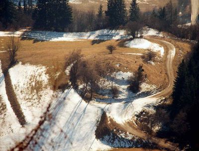
Turmhügel Umadum, Denkmalgeschütztes Objekt in Kammern im Liesingtal (128492)
Location: Kammern im Liesingtal
Address: Umadum
GPS coordinates: 47.39556,14.87864
Latest update: March 3, 2025 01:20
Gößeck
6.1 km
Schloss Ehrnau
5.7 km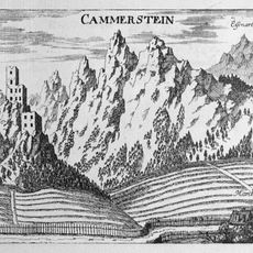
Burg Kammerstein
888 m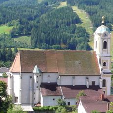
Catholic Parish Church Saint Nicholas
4 km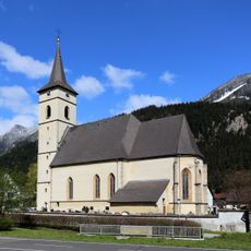
Pfarrkirche Kammern
1.9 km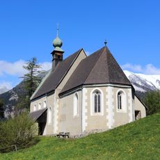
Filialkirche Seiz
4.1 km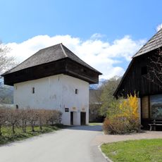
Sog. Schwarzenberger Troadkasten (Heimatmuseum)
4 km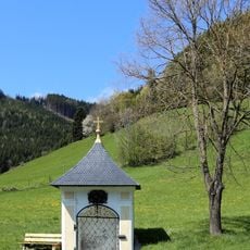
Flur-/Wegkapelle
4.5 km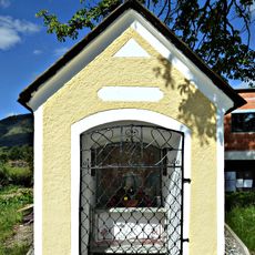
Flur-/Wegkapelle
6.7 km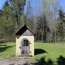
Kapellenbildstock
2.5 km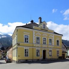
Ehem. Rathaus
4.1 km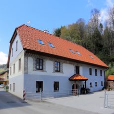
Sogen. Sgraffitohaus
4.2 km
Reithube
3.6 km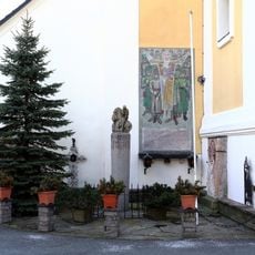
Kriegerdenkmal
4 km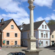
Mariensäule
4.1 km
Sog. Missionskreuz
4.2 km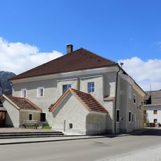
Schwarzenbergerhof, ehem. Propstei
4.1 km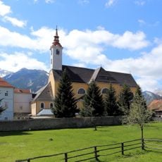
Klosterkirche hl. Barbara
4.2 km
Pavillon/Gartenhaus
3.9 km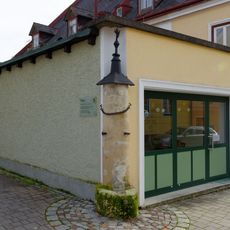
Pranger, sog. Schandsäule
4.1 km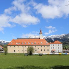
Redemptoristenkloster
4.2 km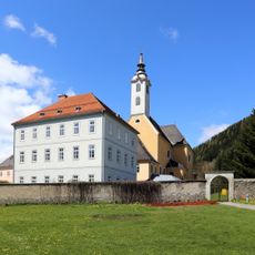
Klostermauer
4.1 km
Bildstock
4.2 km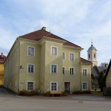
Ehem. Haushaltungsschule St. Martin
4.1 km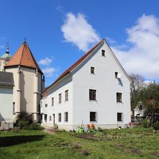
Pfarrhof mit Wirtschaftsgebäude
4 km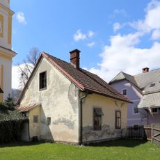
Mesnerhaus
4 km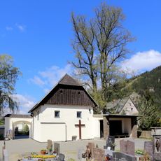
Mesnerhaus
1.9 km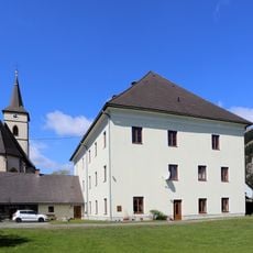
Pfarrhof (Propstei)
1.9 kmReviews
Visited this place? Tap the stars to rate it and share your experience / photos with the community! Try now! You can cancel it anytime.
Discover hidden gems everywhere you go!
From secret cafés to breathtaking viewpoints, skip the crowded tourist spots and find places that match your style. Our app makes it easy with voice search, smart filtering, route optimization, and insider tips from travelers worldwide. Download now for the complete mobile experience.

A unique approach to discovering new places❞
— Le Figaro
All the places worth exploring❞
— France Info
A tailor-made excursion in just a few clicks❞
— 20 Minutes