
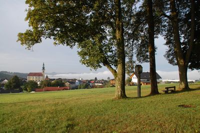
Bildstock, Bildstock in Hofkirchen im Mühlkreis (14360)
Location: Hofkirchen im Mühlkreis
Address: Hofkirchen im Mühlkreis
GPS coordinates: 48.48616,13.81024
Latest update: October 17, 2025 10:40

Burg Falkenstein an der Ranna
2.2 km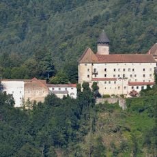
Schloss Rannariedl
2.9 km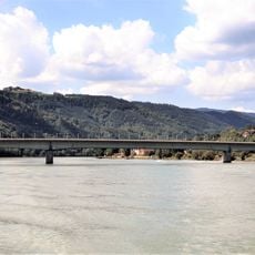
Niederranna Danube bridge
2.5 km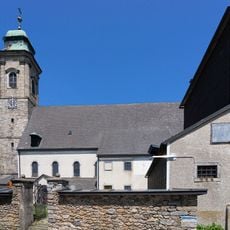
Mary Assumption in Pfarrkirchen im Mühlkreis
2.2 km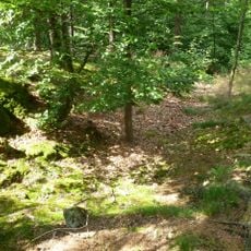
Burgruine Peilenstein
1.9 km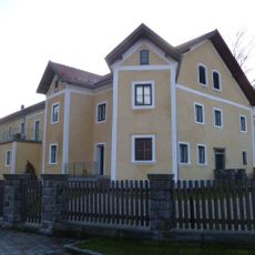
Niederwesen Castle
3 km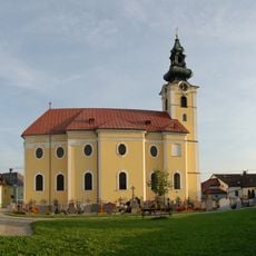
Saint Ulrich church in Hofkirchen i.M.
348 m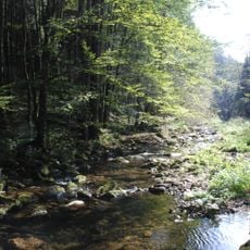
Rannatal
2.8 km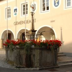
Marktbrunnen Hofkirchen
369 m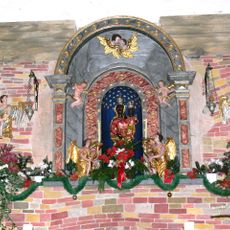
Pfarrkirchen im Mühlkreis - Loreto chapel
2.2 km
Glockenturm, Pfarrkirchen im Mühlkreis
2.3 km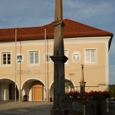
Pranger Hofkirchen
367 m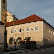
Gemeindeamt Hofkirchen im Mühlkreis
353 m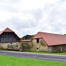
Meierhof of Schloss Altenhof
1.8 km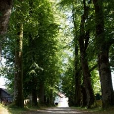
Lindenallee beim Schloß Altenhof
3.1 km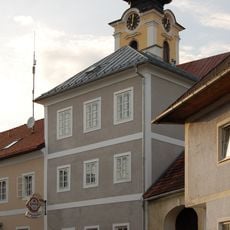
Markt 4
375 m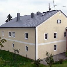
Pfarrhof
2.4 km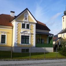
Pfarrhof
3.1 km
Pfarrhof Hofkirchen im Mühlkreis
346 m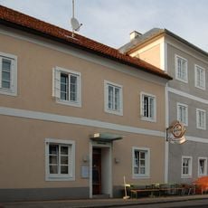
Markt 6
371 m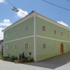
Bürgerhaus, sog. Mesnerhaus
371 m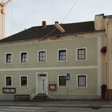
Markt 5
415 m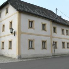
Mesnerhaus
2.3 km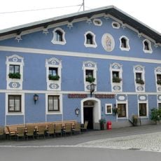
Gasthof Scherrer
2.2 km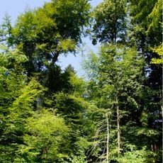
Buche an der Waldkapelle
1.8 km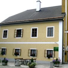
Schule
2.2 km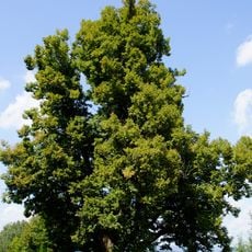
Linde in Altenhof
3.1 km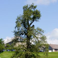
Solitäreiche in Pfarrkirchen
2 kmReviews
Visited this place? Tap the stars to rate it and share your experience / photos with the community! Try now! You can cancel it anytime.
Discover hidden gems everywhere you go!
From secret cafés to breathtaking viewpoints, skip the crowded tourist spots and find places that match your style. Our app makes it easy with voice search, smart filtering, route optimization, and insider tips from travelers worldwide. Download now for the complete mobile experience.

A unique approach to discovering new places❞
— Le Figaro
All the places worth exploring❞
— France Info
A tailor-made excursion in just a few clicks❞
— 20 Minutes