
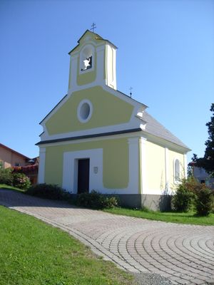
Flur-/Wegkapelle/ Ortskapelle, building in Hochneukirchen-Gschaidt, Austria
Location: Hochneukirchen-Gschaidt
GPS coordinates: 47.45807,16.17823
Latest update: April 4, 2025 22:30
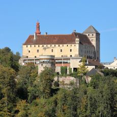
Schloss Krumbach
5.2 km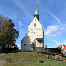
Church in Bad Schönau
5.9 km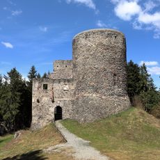
Ziegersberg castle ruins
5.4 km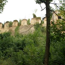
Schloss Bärnegg
5.3 km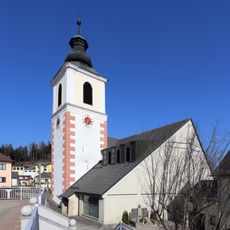
Pfarrkirche hl. Bartholomäus, Hochneukirchen
1.7 km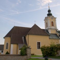
Pfarrkirche Schäffern
5.5 km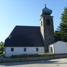
Saint Magdalene Church (Hochneukirchen-Gschaidt)
1.8 km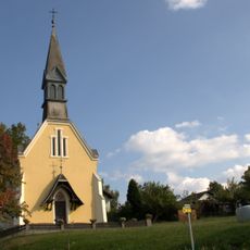
Filialkirche Maria Hilf, Sparberegg
5.6 km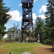
Kernstockwarte
3.3 km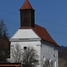
Kath. Filialkirche hl. Mauritius
4 km
Kirchenruine hl. Nikolaus
5.3 km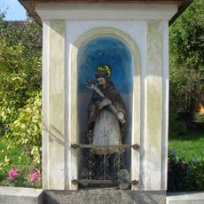
Kapelle hl. Johannes Nepomuk
5.9 km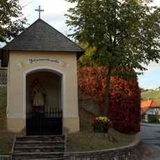
Nepomukkapelle, Johanneskapelle
5.6 km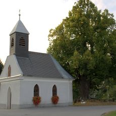
Ortskapelle
3.7 km
Stuben Mortuary
6 km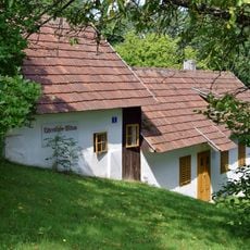
Uhrenstube Aschau
6.1 km
Bauernhaus, Teil der Uhrenstube Aschau
6.2 km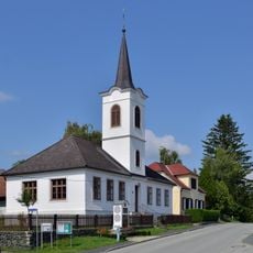
Evangelisches Schul- und Bethaus
6.2 km
Aussichtswarte Aschau
6.3 km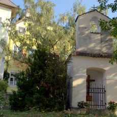
Bildstock
5.6 km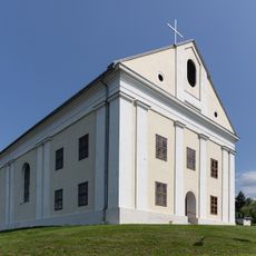
Lutherien school and prayer house in Schmiedrait
4.9 km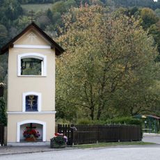
Bildstock
4.4 km
Figurenbildstöcke hll. Petrus und Paulus
5.5 km
Pfarrhof, ehem. Festes Haus
5.9 km
Glockenturm
5.5 km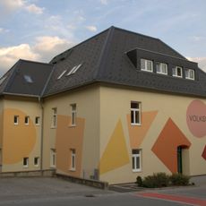
Volksschule
5.5 km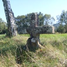
Erasmuskreuz
5.9 km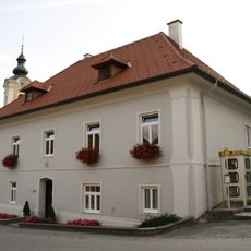
Pfarrhof
5.5 kmVisited this place? Tap the stars to rate it and share your experience / photos with the community! Try now! You can cancel it anytime.
Discover hidden gems everywhere you go!
From secret cafés to breathtaking viewpoints, skip the crowded tourist spots and find places that match your style. Our app makes it easy with voice search, smart filtering, route optimization, and insider tips from travelers worldwide. Download now for the complete mobile experience.

A unique approach to discovering new places❞
— Le Figaro
All the places worth exploring❞
— France Info
A tailor-made excursion in just a few clicks❞
— 20 Minutes