
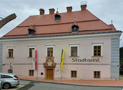
Amtsgebäude, ehem. Hofhaus/heute Rathaus, Denkmalgeschütztes Objekt in Kirchschlag in der Buckligen Welt (26931)
Location: Kirchschlag in der Buckligen Welt
Address: Hauptplatz 1
GPS coordinates: 47.50220,16.29644
Latest update: March 3, 2025 00:15
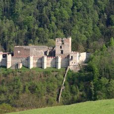
Burgruine Kirchschlag
210 m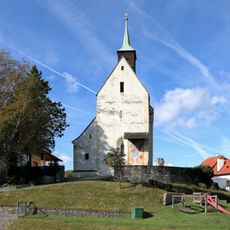
Church in Bad Schönau
4.7 km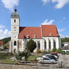
Pfarrkirche hl. Johannes, Kirchschlag
125 m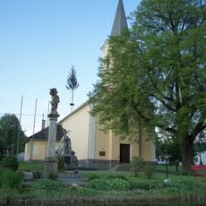
Filialkirche Lebenbrunn
4.4 km
Pfarrkirche Oberrabnitz
4.5 km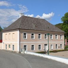
Stadtmuseum Kirchschlag
162 m
Kath. Filialkirche hl. Katharina und Friedhof Karl
4 km
Kath. Filialkirche hll. Rochus und Sebastian
3.7 km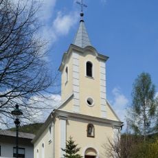
Kath. Filialkirche hl. Antonius
3.4 km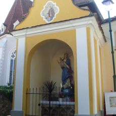
Flur-/Wegkapelle Maria Immaculata
150 m
Kreuzkapelle
4.4 km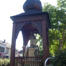
Johanneskapelle
127 m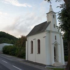
Wallfahrtskapelle hl. Oswald
3.6 km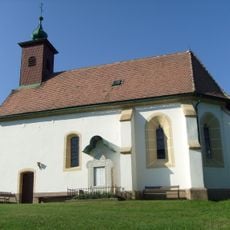
Kath. Filialkirche hl. Markus
2.1 km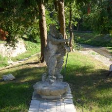
Neptun-Brunnenfigur
213 m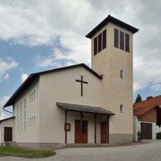
Filialkirche Stang
3.9 km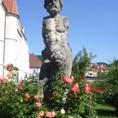
Herkules-Brunnenfigur
123 m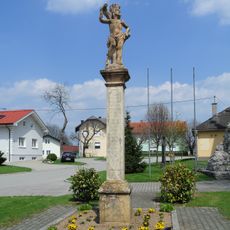
Sebastianssäule Lebenbrunn
4.4 km
Former fire station in Oberrabnitz
4.5 km
Aufbahrungshalle hl Michael, Kirchschlag
144 m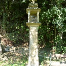
Bildstock
774 m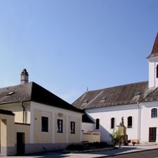
Pfarrhof
4.5 km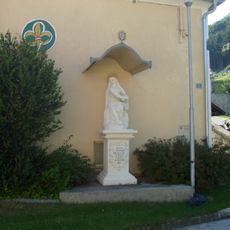
Figurenbildstock Mater Dolorosa
307 m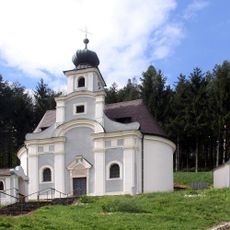
Calvary and Chapel
381 m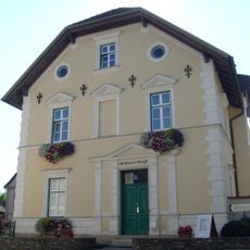
Pfarrhof
206 m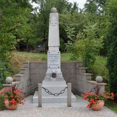
Kriegerdenkmal Stang
3.8 km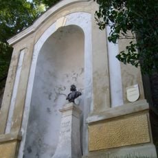
Kaiser Franz Joseph-Denkmal
93 m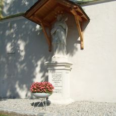
Figurenbildstock hl. Johannes Nepomuk
154 mReviews
Visited this place? Tap the stars to rate it and share your experience / photos with the community! Try now! You can cancel it anytime.
Discover hidden gems everywhere you go!
From secret cafés to breathtaking viewpoints, skip the crowded tourist spots and find places that match your style. Our app makes it easy with voice search, smart filtering, route optimization, and insider tips from travelers worldwide. Download now for the complete mobile experience.

A unique approach to discovering new places❞
— Le Figaro
All the places worth exploring❞
— France Info
A tailor-made excursion in just a few clicks❞
— 20 Minutes