
Bauernhaus Mehrer, human settlement in Austria
Location: Rinn
Address: Untere Hochstraße 19
GPS coordinates: 47.25791,11.51065
Latest update: March 3, 2025 18:07

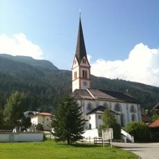
Kath. Pfarrkirche hl. Andreas
1.2 km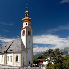
Saint Thomas Church (Tulfes)
1.5 km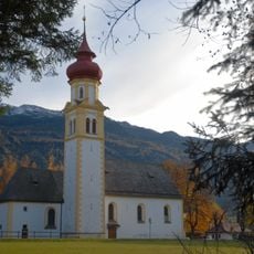
Wallfahrtskirche Mariä Heimsuchung (Rinn)
458 m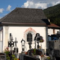
Friedhof mit Friedhofskapelle, Totenkapelle
1.1 km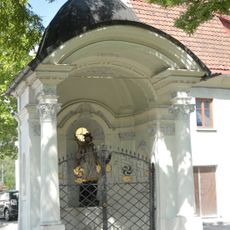
Johannes Nepomuk-Kapelle, Lend-Kapelle
2.2 km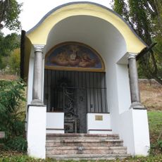
Sonnenkapelle
1.9 km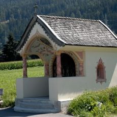
Pestkapelle, Huisen-Kapelle
1.1 km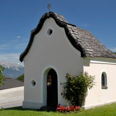
Kapelle beim Sagmeister, Platzer-Kapelle
655 m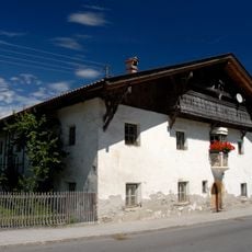
Bauernhaus Arnt, Ornthof
1.7 km
Bauernhaus Kössler, ehem. Beim Pirpam
1.9 km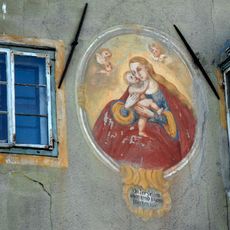
Mariahilf-Fresko
2 km
Ansitz Taschenlehen
1.8 km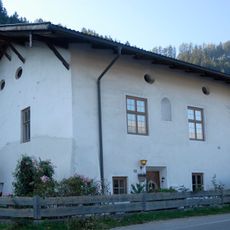
Ehem. Ansitz Schwanenfeld/Stachler
1.9 km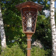
Bildstock hl. Johannes Nepomuk
2.1 km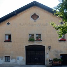
Städtischer Bauhof
2.3 km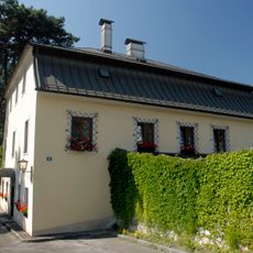
Ehem. Bezirksforstinspektion
2.2 km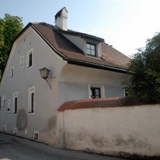
Bürgerhaus
2.3 km
Wohnhaus
2.4 km
Widum
1.4 km
Wohnhaus, ehem. Schüttkasten
2.2 km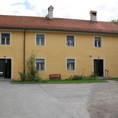
Wohnhaus, ehem. Zeugschmiede
2.4 km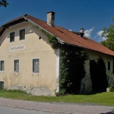
Wohnhaus, ehem. Gasthof Neuwirt
1.1 km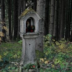
Bildstock, Steinsäule
512 m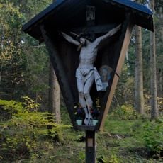
Wegkreuz mit Marterl
512 m
Wohnhaus ehem. Salzstadel
2.2 km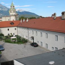
Wohnhaus, ehem. Salmiakfabrik
2.3 km
Wohnhaus
2.4 km
Ehem. Sudhaus
2.3 kmReviews
Visited this place? Tap the stars to rate it and share your experience / photos with the community! Try now! You can cancel it anytime.
Discover hidden gems everywhere you go!
From secret cafés to breathtaking viewpoints, skip the crowded tourist spots and find places that match your style. Our app makes it easy with voice search, smart filtering, route optimization, and insider tips from travelers worldwide. Download now for the complete mobile experience.

A unique approach to discovering new places❞
— Le Figaro
All the places worth exploring❞
— France Info
A tailor-made excursion in just a few clicks❞
— 20 Minutes