
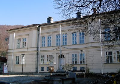
Gemeindeamt, ehem. Volksschule, building in Ternberg, Austria
Location: Ternberg
Address: Kirchenplatz 12
GPS coordinates: 47.94575,14.35746
Latest update: March 13, 2025 19:55
Museumsdorf Trattenbach
1.9 km
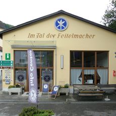
Weltrekord-Taschenfeitel
1.9 km
Ternberg Pfarrkirche
66 m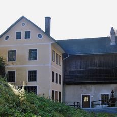
Museum in der Wegscheid
2.5 km
Koglerhof
2.9 km
Filialkirche Trattenbach
2.5 km
Feitelwerkstätte Löschenkohl
2.3 km
Schleiferei am König
2.6 km
Drechslerei am Erlach
3 km
Trattenbach
1.8 km
Pilsenfels
2.5 km
König-Schmiede
2.6 km
Trattenbachbrücke
1.8 km
Könighaus Chapel
2.5 km
Pfarrerlinde in Ternberg
848 m
Ehem. Wirtshaus im Bäckengraben, Vorderau
1.4 km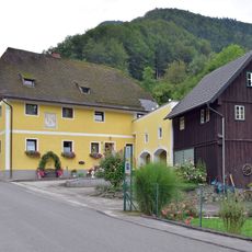
Haberleitnermühl
2.1 km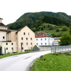
Wallnermühle
1.9 km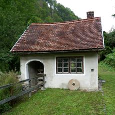
Mühle an der Wegscheid
2.4 km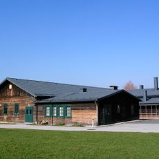
Wohnbaracke, ehem. KZ- Nebenlager
538 m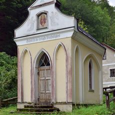
Rameiskapelle
3.2 km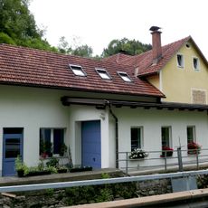
Mühle im Garten
2.2 km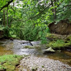
Fallerbach
3 km
Ratzingerhaus
2.5 km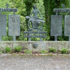
Trattenbach war memorial
2.4 km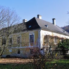
Wohnhaus, ehem. Pfarrhof
866 m
Pichlwangerhaus
2.8 km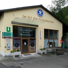
Info Center Trattenbach
1.9 kmVisited this place? Tap the stars to rate it and share your experience / photos with the community! Try now! You can cancel it anytime.
Discover hidden gems everywhere you go!
From secret cafés to breathtaking viewpoints, skip the crowded tourist spots and find places that match your style. Our app makes it easy with voice search, smart filtering, route optimization, and insider tips from travelers worldwide. Download now for the complete mobile experience.

A unique approach to discovering new places❞
— Le Figaro
All the places worth exploring❞
— France Info
A tailor-made excursion in just a few clicks❞
— 20 Minutes