
Volksschule, building in Höflein an der Hohen Wand, Austria
Location: Höflein an der Hohen Wand
Address: Ortsstraße 2
GPS coordinates: 47.79518,16.03515
Latest update: March 10, 2025 15:11

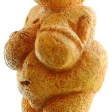
Venus of Willendorf
1.7 km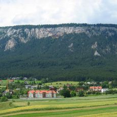
Hohe Wand
3.2 km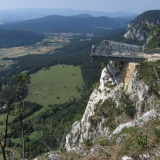
Hohe Wand Nature Park
4.4 km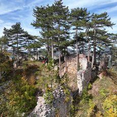
Schrattenstein castle ruins
3.4 km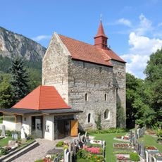
Pfarrkirche Maiersdorf
3.1 km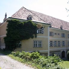
Schloss Strelzhof
2.6 km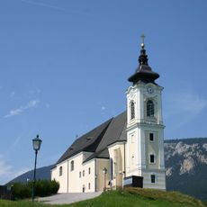
Wallfahrtskirche Maria Kirchbüchl
228 m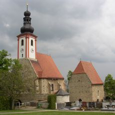
Wehrkirchenbezirk Würflach
2.8 km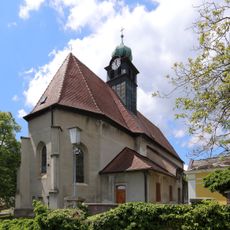
Saint Michael Church (Grünbach am Schneeberg)
3.6 km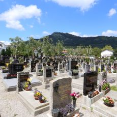
Friedhof
3.7 km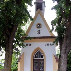
Flur-/Wegkapelle
3.2 km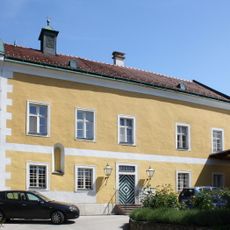
Pfarrhof, ehem. Thomaskirche
975 m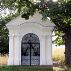
Marienkapelle
370 m
Kreuzkapelle
4.5 km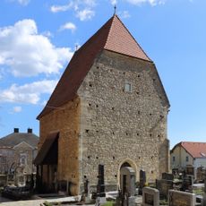
Herz-Jesu-Kapelle (Sebastianskapelle)
2.8 km
Bauernhof (Anlage)
3.4 km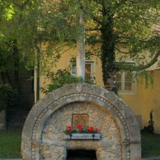
Rosalienbrunnen
4.6 km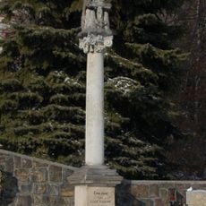
Figurenbildstock Gnadenstuhl
3.1 km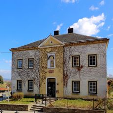
Pfarrhof
2.8 km
Bildstock
1.9 km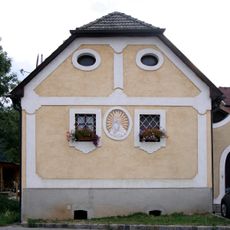
Wohnhaus
3.5 km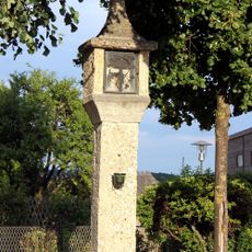
Bildstock
2.9 km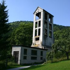
Förderturm des ehem. Steinkohlebergwerks
4 km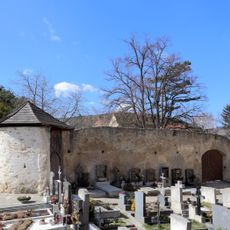
Wehrkirchhof
2.8 km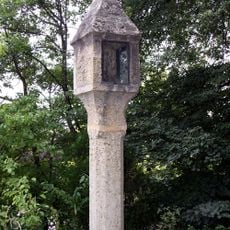
Bildstock
2.3 km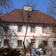
Pfarrhof
3.1 km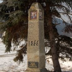
Pestpfeiler
4 km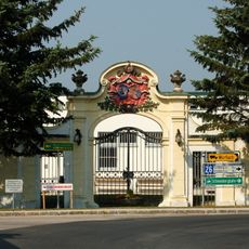
Barocke Portalanlage
3.4 kmVisited this place? Tap the stars to rate it and share your experience / photos with the community! Try now! You can cancel it anytime.
Discover hidden gems everywhere you go!
From secret cafés to breathtaking viewpoints, skip the crowded tourist spots and find places that match your style. Our app makes it easy with voice search, smart filtering, route optimization, and insider tips from travelers worldwide. Download now for the complete mobile experience.

A unique approach to discovering new places❞
— Le Figaro
All the places worth exploring❞
— France Info
A tailor-made excursion in just a few clicks❞
— 20 Minutes