
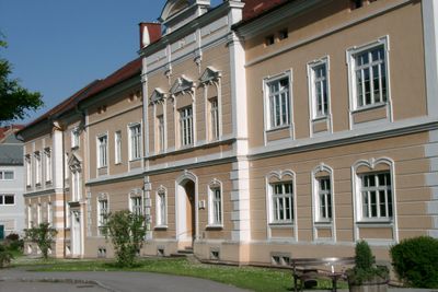
Hauptschule, Altbau, building in Sankt Florian, Austria
Location: Sankt Florian
Address: Wiener Straße 44
GPS coordinates: 48.20806,14.38876
Latest update: March 2, 2025 23:43
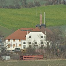
Oberösterreichische Glocken- und Metallgießerei
651 m
Stiftsbibliothek St Florian
786 m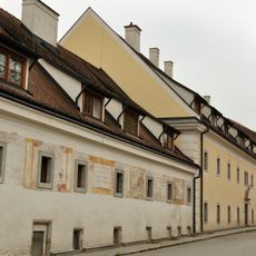
Johanneskirche, Bruderhaus, Stiftsspital, Florianiquelle, Sankt Florian (Linz-Land)
244 m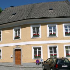
Wohnhaus, ehem. Glaserhaus
636 m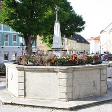
Marktplatzbrunnen (Sankt Florian)
646 m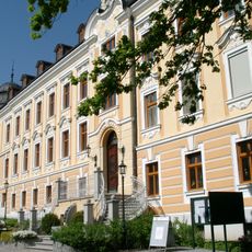
Gemeindeamt Sankt Florian
593 m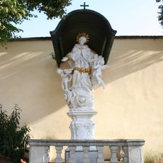
Nepomuk
735 m
Aufnahmsgebäude Lokalbahnhof Sankt Florian
552 m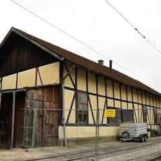
Lokschuppen des ehem. Lokalbahnhofes St. Florian
423 m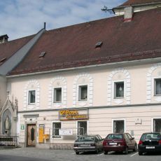
Marktplatz 2, Sankt Florian
681 m
Stiftskirche St. Florian
742 m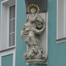
Figur Maria-Immaculata
660 m
Wohnhaus
613 m
Wohnhaus, Fürhauser Bäckenhaus
665 m
Wohnhaus, Wilnauerhaus
683 m
Ehem. Gasthof zur Traube
779 m
Schlagerstraße 9 (Sankt Florian (Linz-Land))
669 m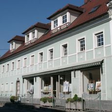
Wohnhaus, ehem. Hofschneiderhaus
702 m
Wohnhaus
513 m
Wohnhaus, Gürtlerhaus
669 m
Wohnhaus
706 m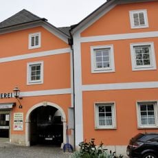
Wohn- und Geschäftshaus, ehem. Fleischhackerhaus
626 m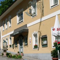
Wohnhaus
628 m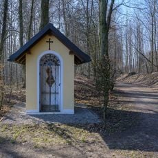
Wegkapelle Wilbirgweg
387 m
Marktplatz 4, Sankt Florian
662 m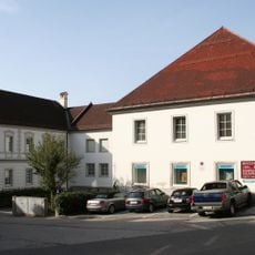
Ehem. Hofrichterei
625 m
Marktplatz 5, Sankt Florian
659 m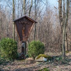
Gedenkkreuz Wilbirgweg
563 mReviews
Visited this place? Tap the stars to rate it and share your experience / photos with the community! Try now! You can cancel it anytime.
Discover hidden gems everywhere you go!
From secret cafés to breathtaking viewpoints, skip the crowded tourist spots and find places that match your style. Our app makes it easy with voice search, smart filtering, route optimization, and insider tips from travelers worldwide. Download now for the complete mobile experience.

A unique approach to discovering new places❞
— Le Figaro
All the places worth exploring❞
— France Info
A tailor-made excursion in just a few clicks❞
— 20 Minutes