
Lake Macquarie, state electoral district of New South Wales, Australia
Location: New South Wales
Inception: 1950
GPS coordinates: -33.05200,151.48300
Latest update: March 13, 2025 14:19
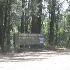
Watagans National Park
9.9 km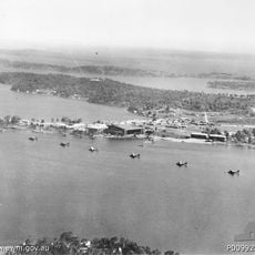
RAAF Base Rathmines
10.3 km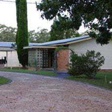
South Sea Islands Museum
3.1 km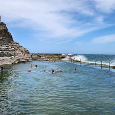
Bogey Hole
17.9 km
Catherine Hill Bay Beach
17.9 km
Belmont Wetlands State Park
19.1 km
Warners Bay Foreshore Reserve
17.3 km
Warners Bay Performing Arts Precinct
17.4 km
Central Newcastle Church
19 km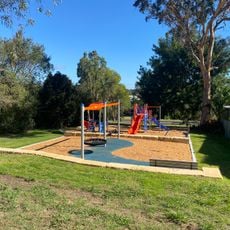
Charley Street Reserve Playground
18.2 km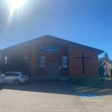
Warners Bay Baptist Church
17.7 km
Vermont Place Park Playground
19 km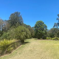
Richard Allen Park Playground
17.3 km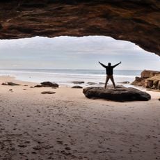
Caves Beach
16.6 km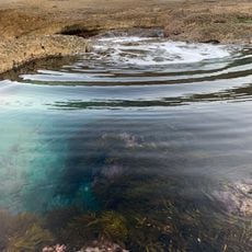
Coral Fern Beach
19.9 km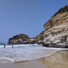
Ghosties Beach
19.8 km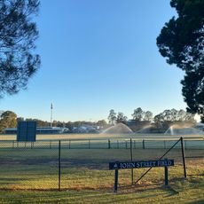
Warner Park
17.4 km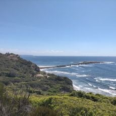
Quarry Beach
17.2 km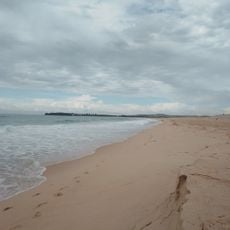
Nine Mile Beach
18.3 km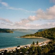
Pearl Beach
9.1 km
Warners Bay Seventh Day Adventist Church
18.2 km
Speers Point Library
16.6 km
Warners Bay Uniting Church
18.7 km
Ali's Palace
17.2 km
Service NSW Warners Bay
18.8 km
Moonee Beach
19.2 km
First Orange Orchard
17.3 km
Shark Hole
17.7 kmReviews
Visited this place? Tap the stars to rate it and share your experience / photos with the community! Try now! You can cancel it anytime.
Discover hidden gems everywhere you go!
From secret cafés to breathtaking viewpoints, skip the crowded tourist spots and find places that match your style. Our app makes it easy with voice search, smart filtering, route optimization, and insider tips from travelers worldwide. Download now for the complete mobile experience.

A unique approach to discovering new places❞
— Le Figaro
All the places worth exploring❞
— France Info
A tailor-made excursion in just a few clicks❞
— 20 Minutes