
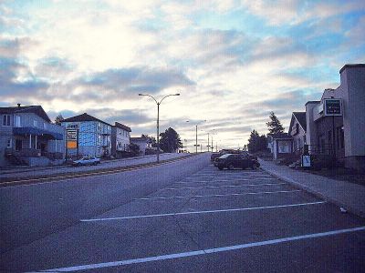
Chapais, municipality in Quebec, Canada
Location: Jamésie
Inception: November 16, 1955
Shares border with: Eeyou Istchee James Bay Regional Government
Website: http://villedechapais.com
GPS coordinates: 49.78194,-74.85444
Latest update: March 15, 2025 12:07
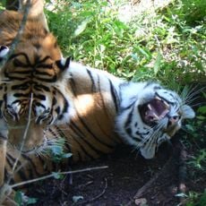
Zoo Sauvage de St-Félicien
209.7 km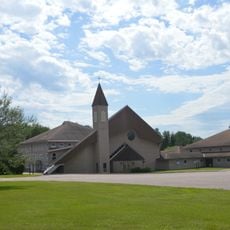
Monastère Notre-Dame de Mistassini
212.3 km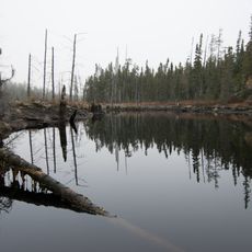
Ashuapmushuan Wildlife Reserve
123.3 km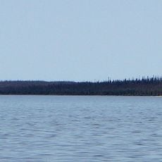
Lake Nemiscau
225.7 km
Zec de la Lièvre
228.1 km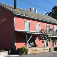
Musée du fromage cheddar
225.9 km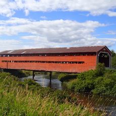
Pont de l'Arche de Noé
228.7 km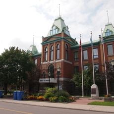
Roberval Town Hall
237.7 km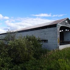
Pont des Chutes
223.2 km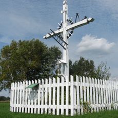
Croix de chemin de Saint-Thomas-Didyme
186.5 km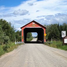
Pont de l'Orignal
230 km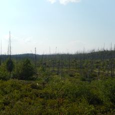
Obalski Regional Park
38.4 km
Complexe sportif de Dolbeau
215.9 km
Ancien moulin de Sainte-Jeanne-d'Arc
225.5 km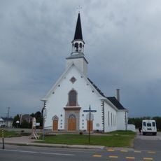
Église Saint-Édouard
233.1 km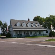
Maison Donaldson
238.6 km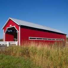
Pont Rouge
224.5 km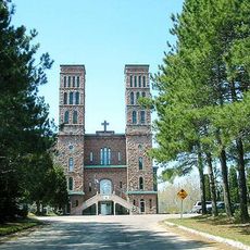
Ancienne abbaye Notre-Dame de Mistassini
214.9 km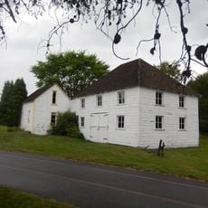
Maison Samuel-Bédard
239.7 km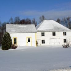
Musée Louis-Hémon
238.5 km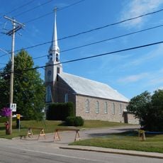
Église Notre-Dame-de-Lourdes
188.3 km
Ruisseau Tourville
227.3 km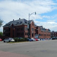
Couvent des Ursulines
238 km
Bibliothèque de Saint-Félicien, Québec
215.5 km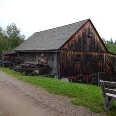
Moulin de La Doré
200.9 km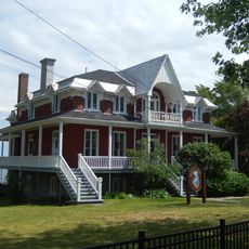
Ancien presbytère Notre-Dame
238.5 km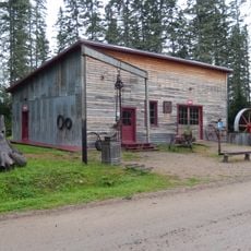
Atelier mécanique Félix Trottier et Fils
200.9 km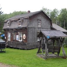
Maison de Marie
200.9 kmReviews
Visited this place? Tap the stars to rate it and share your experience / photos with the community! Try now! You can cancel it anytime.
Discover hidden gems everywhere you go!
From secret cafés to breathtaking viewpoints, skip the crowded tourist spots and find places that match your style. Our app makes it easy with voice search, smart filtering, route optimization, and insider tips from travelers worldwide. Download now for the complete mobile experience.

A unique approach to discovering new places❞
— Le Figaro
All the places worth exploring❞
— France Info
A tailor-made excursion in just a few clicks❞
— 20 Minutes