
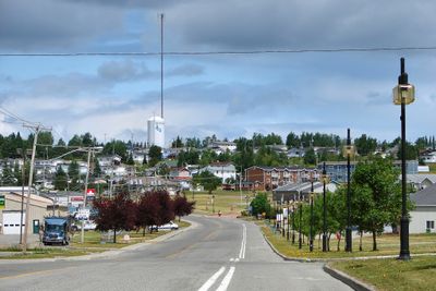
Lebel-sur-Quévillon, town in Quebec, Canada
Location: Jamésie
Inception: August 6, 1965
Elevation above the sea: 304.5 m
Shares border with: Eeyou Istchee James Bay Regional Government, Senneterre, Lac-Despinassy
Website: https://lsq.quebec
GPS coordinates: 49.05194,-76.97611
Latest update: March 3, 2025 21:37
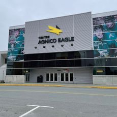
Centre Agnico Eagle
121.1 km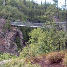
Aiguebelle National Park
142.5 km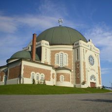
Cathedral of St Teresa of Avila
99.2 km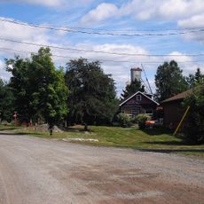
Cité de l'Or
121.4 km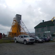
Former Lamaque Mine
121.4 km
Val-Senneville
108.7 km
Bourlamaque
120.9 km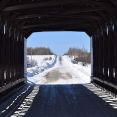
Pont Maurice-Duplessis
160.4 km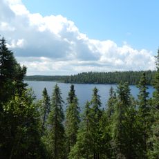
Réserve de biodiversité des Lacs-Vaudray-et-Joannès
163 km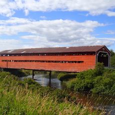
Pont de l'Arche de Noé
58.1 km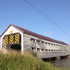
Pont des Souvenirs
160.9 km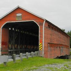
Pont Champagne
116.5 km
Pont Molesworth
151.5 km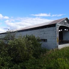
Pont des Chutes
51.7 km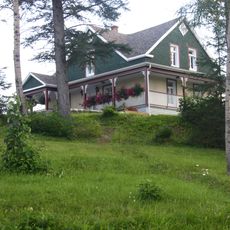
Maison Hector-Authier
99.5 km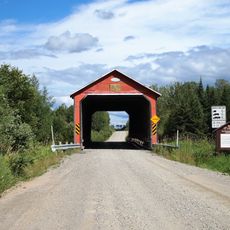
Pont de l'Orignal
57.3 km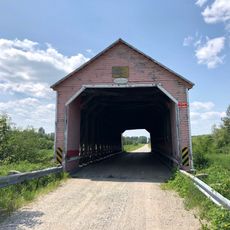
Pont Alphonse-Normandin
93.8 km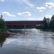
Pont Émery-Sicard
88 km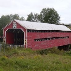
Pont Levasseur
142 km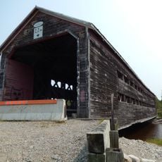
Taschereau bridge
162.4 km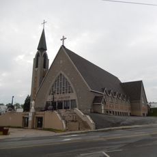
Église Saint-Sauveur (Val-d'Or)
121.4 km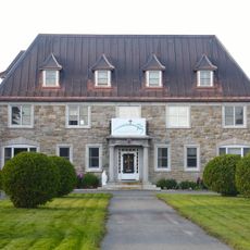
Évêché d'Amos
98.7 km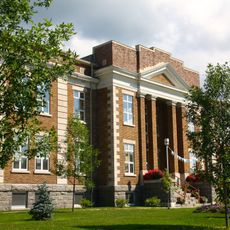
Ancien palais de justice d'Amos
98.9 km
Ruisseau Tourville
55.9 km
The Former Lamaque Mine and the Bourlamaque Mining Village
121.5 km
Dubuisson
126.7 km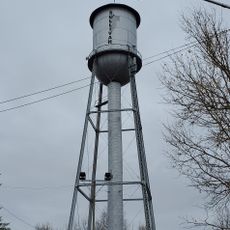
Château d'eau de l'ancienne mine Sullivan
120.8 km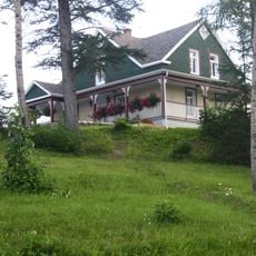
Site patrimonial de la Maison-Hector-Authier
99.5 kmReviews
Visited this place? Tap the stars to rate it and share your experience / photos with the community! Try now! You can cancel it anytime.
Discover hidden gems everywhere you go!
From secret cafés to breathtaking viewpoints, skip the crowded tourist spots and find places that match your style. Our app makes it easy with voice search, smart filtering, route optimization, and insider tips from travelers worldwide. Download now for the complete mobile experience.

A unique approach to discovering new places❞
— Le Figaro
All the places worth exploring❞
— France Info
A tailor-made excursion in just a few clicks❞
— 20 Minutes