
Audet, municipality of Quebec
Location: Le Granit
Inception: November 26, 1903
Shares border with:
Website: http://munaudet.qc.ca
GPS coordinates: 45.65000,-70.73330
Latest update: April 2, 2025 04:39

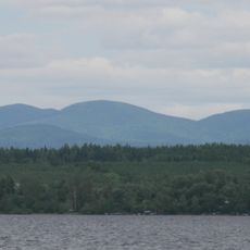
Caribou Mountain
25.3 km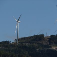
Kibby Mountain
29.7 km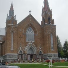
Église Sainte-Agnès de Lac-Mégantic
14.3 km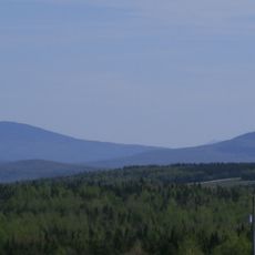
Mount Pisgah
31.1 km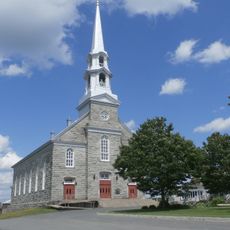
Church of San Sebastian (Le Granit)
23.5 km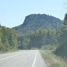
Mont Scotch Cap
26.3 km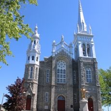
Église Saint-Vital de Lambton
34.7 km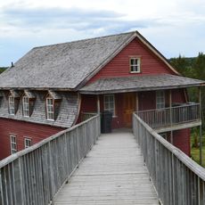
Moulin Bernier
31.5 km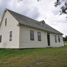
Samuel Holden House
36.4 km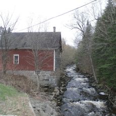
Moulin Legendre
34.9 km
St. John Anglican Church
13.1 km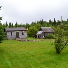
Parc Morrison
32.2 km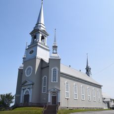
Église Saint-Martin
35 km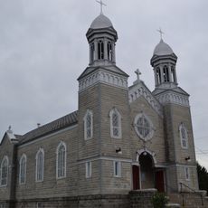
Église Saint-Hilaire de Saint-Hilaire-de-Dorset
25.8 km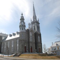
Site de l'église de Saint-Vital
34.7 km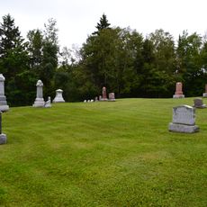
Cimetière Gisla
32.1 km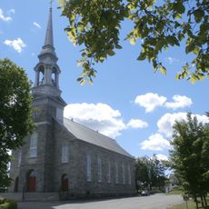
Église Saint-Samuel de Lac-Drolet
11.7 km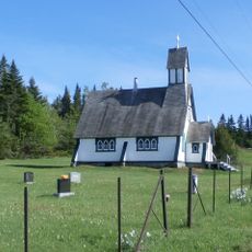
Site patrimonial de l'Église-Anglicane-Saint-John-et-du-Cimetière-Mount Pleasant Union
13.8 km
Atelier Tardif
31.5 km
Vieux couvent, Lac-Drolet
11.9 km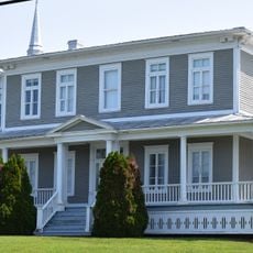
Presbytère de Saint-Martin
35 km
Ancien presbytère de Saint-Évariste-de-Forsyth
36 km
Maison René-Robert
11.9 km
Maison Roland-Morin
31.5 km
Presbytère de Saint-Samuel
11.8 km
Résidence Bernardin-Therrien
16.6 km
Résidence Odilon-Bilodeau
31.4 km
Maison François-Goulet
29.5 kmReviews
Visited this place? Tap the stars to rate it and share your experience / photos with the community! Try now! You can cancel it anytime.
Discover hidden gems everywhere you go!
From secret cafés to breathtaking viewpoints, skip the crowded tourist spots and find places that match your style. Our app makes it easy with voice search, smart filtering, route optimization, and insider tips from travelers worldwide. Download now for the complete mobile experience.

A unique approach to discovering new places❞
— Le Figaro
All the places worth exploring❞
— France Info
A tailor-made excursion in just a few clicks❞
— 20 Minutes