
Villeroy, municipality in Quebec, Canada
Location: L'Érable
Inception: September 22, 1924
Shares border with: Leclercville, Notre-Dame-de-Lourdes
Website: http://municipalitevilleroy.ca
GPS coordinates: 46.38330,-71.88330
Latest update: March 6, 2025 16:32

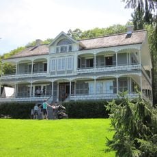
Seigneurie de Lotbinière
16.9 km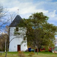
Moulin à vent de Grondines
25.7 km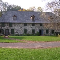
Moulin du Portage
20.2 km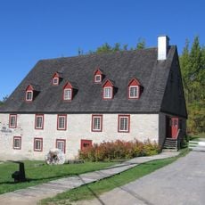
Moulin de La Chevrotière
28.4 km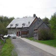
Moulin Michel
28.1 km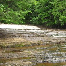
Rivière-Gentilly Regional Park
27.1 km
Rivière-du-Moulin Ecological Reserve
28.8 km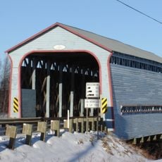
Pont Caron
14.3 km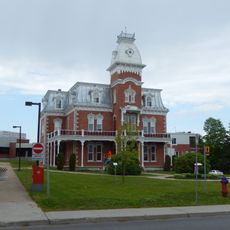
Maison Cormier
20.3 km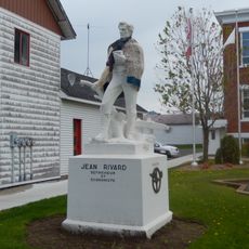
Monument Jean-Rivard
20.2 km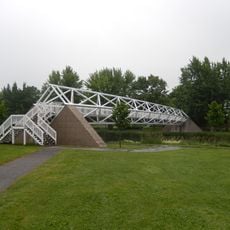
Passerelle Armand-Vaillancourt
20.5 km
Grondines
26.2 km
Daveluyville
28 km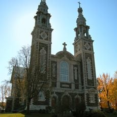
Église Sainte-Croix
28.8 km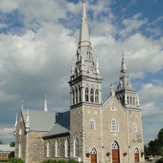
Saint-Charles-Borromée Church
26.3 km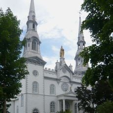
Église Saint-Louis
26.3 km
Église Sainte-Emmélie
22.8 km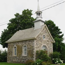
Chapelle de procession de Saint-Louis
26.2 km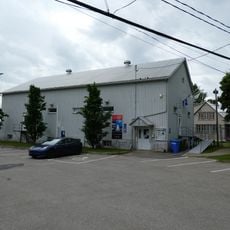
Centre des Roches
26.3 km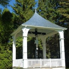
Calvaire Alexandre-Naud
28.7 km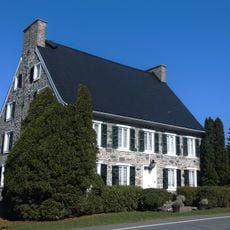
Maison Ambroise-Chavigny-De La Chevrotière
26 km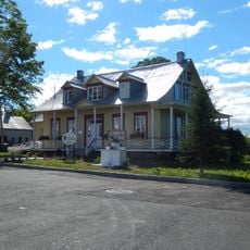
Presbytère de Sainte-Emmélie
22.8 km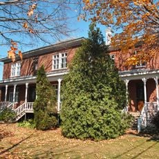
Presbytère de Saint-Octave
28.7 km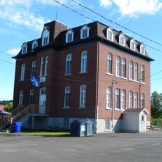
École de la Falaise
22.7 km
Maison Pagé
26.2 km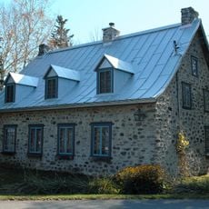
Maison François-Bélangé
25.8 km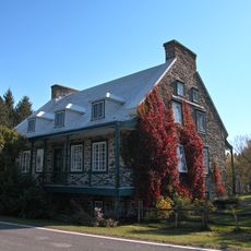
Maison Boisvert
27.5 km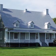
Presbytère de Saint-Charles-des-Grondines
26.2 kmReviews
Visited this place? Tap the stars to rate it and share your experience / photos with the community! Try now! You can cancel it anytime.
Discover hidden gems everywhere you go!
From secret cafés to breathtaking viewpoints, skip the crowded tourist spots and find places that match your style. Our app makes it easy with voice search, smart filtering, route optimization, and insider tips from travelers worldwide. Download now for the complete mobile experience.

A unique approach to discovering new places❞
— Le Figaro
All the places worth exploring❞
— France Info
A tailor-made excursion in just a few clicks❞
— 20 Minutes