
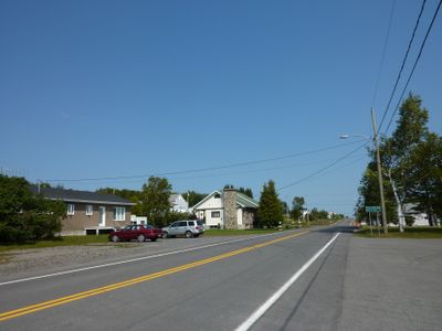
Sainte-Paule, municipality in Quebec, Canada
Location: La Matanie
Inception: January 1, 1968
Shares border with: Matane, Sayabec, Lac-Matapédia
Website: http://municipalite.sainte-paule.qc.ca
GPS coordinates: 48.66031,-67.56016
Latest update: April 13, 2025 02:07
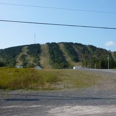
Val-d'Irène Regional Park
20.8 km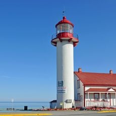
Matane Lighthouse
21.1 km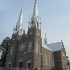
Church of St. Peter, Val-Brillant
14.2 km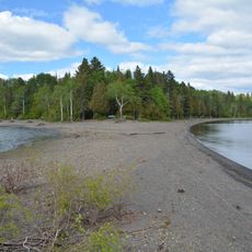
Pointe Fine
14.8 km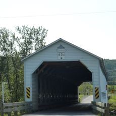
Anses-Saint-Jean Bridge
20.5 km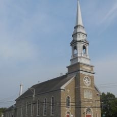
Church of the Holy Name of Mary, Sayabec
14 km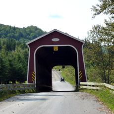
Jean-Chassé Bridge
12.6 km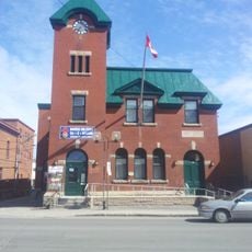
Matane Armoury
20.8 km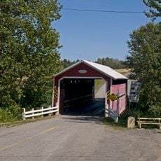
Pierre-Carrier Bridge
15.5 km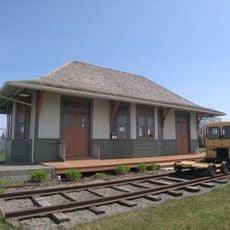
Rivière-Blanche railway station
17.1 km
Pont François-Gagnon
13.6 km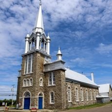
Église de Saint-Ulric
17.6 km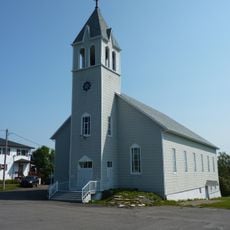
Sainte-Paule Church
89 m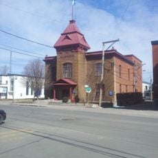
Matane Courthouse
20.9 km
Joseph-Rouleau Cultural Complex
21.1 km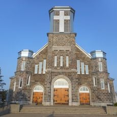
Saint-Jérôme Church
21.1 km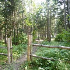
Baie-de-Charlie Park
9.8 km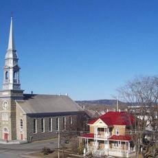
Saint-Nom-de-Marie
14.1 km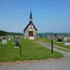
Chapel-receiving vault of the cemetary of Sayabec
13.2 km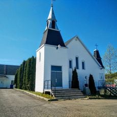
Saint-Jean-Baptiste-Vianney Church
11.9 km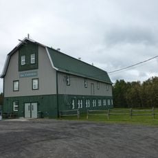
La Cèdrière
13.7 km
Sayabec Townhall
14 km
Pierre-Brochu Park
12.9 km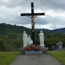
Calvary of Val-Brillant Cemetery
14.5 km
Presbytère de Saint-Pierre-du-Lac
14.1 km
Presbytère de Saint-Nom-de-Marie
14 km
Tournant-de-la-Rivière Park
14 km
Presbytère de Saint-Jérôme-de-Matane
21.1 kmReviews
Visited this place? Tap the stars to rate it and share your experience / photos with the community! Try now! You can cancel it anytime.
Discover hidden gems everywhere you go!
From secret cafés to breathtaking viewpoints, skip the crowded tourist spots and find places that match your style. Our app makes it easy with voice search, smart filtering, route optimization, and insider tips from travelers worldwide. Download now for the complete mobile experience.

A unique approach to discovering new places❞
— Le Figaro
All the places worth exploring❞
— France Info
A tailor-made excursion in just a few clicks❞
— 20 Minutes