
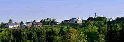
Sainte-Rita, municipality in Quebec, Canada
Location: Les Basques
Inception: January 1, 1948
Shares border with: Saint-Jean-de-Dieu, Saint-Guy, Saint-Michel-du-Squatec, Saint-Cyprien
GPS coordinates: 47.95000,-68.91667
Latest update: March 19, 2025 18:21

Cabano
29.8 km
Lac-Témiscouata National Park
34.4 km
Fort Ingall
28.5 km
Baie de l'Isle-Verte National Wildlife Area
31.9 km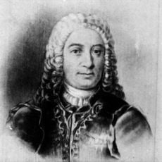
Seigneurie de Madawaska
32.2 km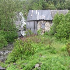
Moulin du Petit-Sault
30.2 km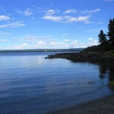
Île aux Basques Migratory Bird Sanctuary
31.9 km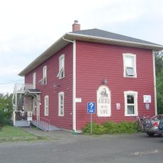
Cabano railway station
29.6 km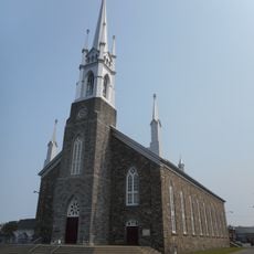
La Décollation-de-Saint-Jean-Baptiste Church
32.2 km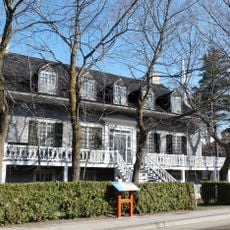
Louis Bertrand House
32.2 km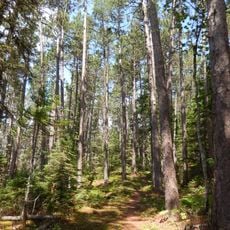
Forêt rare de la Montagne-à-Fourneau
27.4 km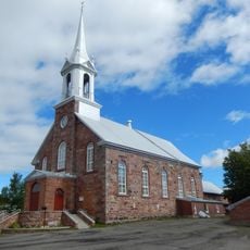
Saint-Mathieu Church
26.6 km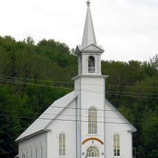
Saint-Jean-Baptiste Church
27.2 km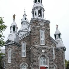
Notre-Dame-des-Neiges Church
27.3 km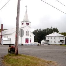
Saint-Pierre Church
20.4 km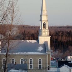
Saint-Hubert Church
23.2 km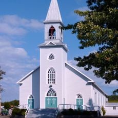
Saint-Isidore Church
18.4 km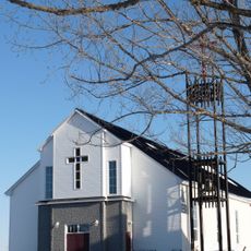
Saint-François-Xavier-de-Viger Church
26.7 km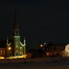
Saint-Simon Church
29.6 km
Saint-Paul-de-la-Croix Church
20.8 km
Sainte-Françoise Church
19.4 km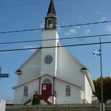
L'Esprit-Saint Church
29.3 km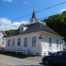
L'Isle-Verte Court House
32.2 km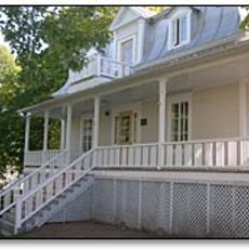
Presbytère de Saint-Cyprien
9.7 km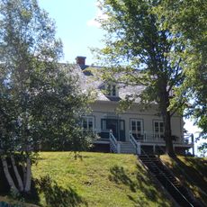
Maison du notaire
27.3 km
Presbytère de Saint-Hubert
23 km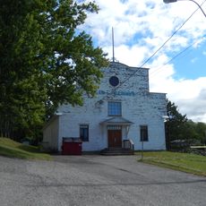
Salle des loisirs de Sainte-Françoise
19.4 km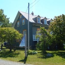
Girard House
31.6 kmReviews
Visited this place? Tap the stars to rate it and share your experience / photos with the community! Try now! You can cancel it anytime.
Discover hidden gems everywhere you go!
From secret cafés to breathtaking viewpoints, skip the crowded tourist spots and find places that match your style. Our app makes it easy with voice search, smart filtering, route optimization, and insider tips from travelers worldwide. Download now for the complete mobile experience.

A unique approach to discovering new places❞
— Le Figaro
All the places worth exploring❞
— France Info
A tailor-made excursion in just a few clicks❞
— 20 Minutes