
Mattawan, township municipality in Ontario, Canada
Location: Nipissing District
Shares border with: Unorganized North Nipissing District, , Les Lacs-du-Témiscamingue
Website: https://mattawan.ca
GPS coordinates: 46.33333,-78.83333
Latest update: March 3, 2025 03:48
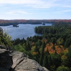
Algonquin Provincial Park
60.3 km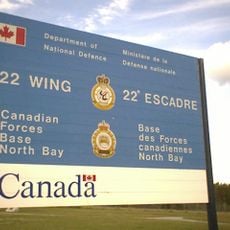
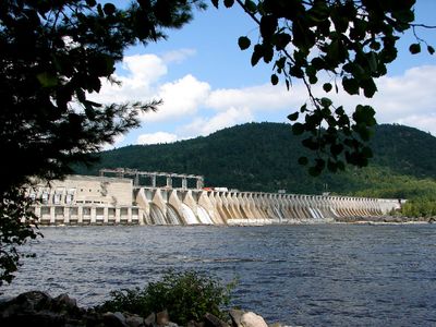
CFB North Bay
44.8 km
Arrowhead Provincial Park
108.6 km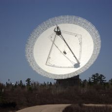
Algonquin Radio Observatory
72.2 km
Lac Kipawa
62.2 km
Goose Air Defense Sector
44.5 km
Camp Pathfinder
86.7 km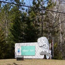
Finlayson Point Provincial Park
109.4 km
Northeast Arm Iron Range
111.7 km
Samuel de Champlain Provincial Park
5.6 km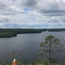
Restoule Provincial Park
78.2 km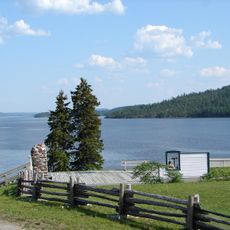
Fort Témiscamingue
116.6 km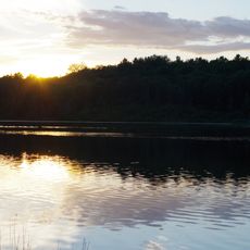
Marten River Provincial Park
86.8 km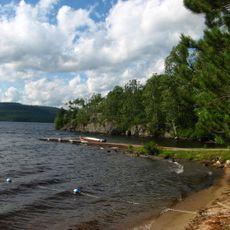
Driftwood Provincial Park
76.7 km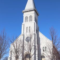
Pro-Cathedral of the Assumption
48.7 km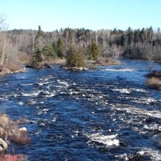
Upper Madawaska River Provincial Park
110.5 km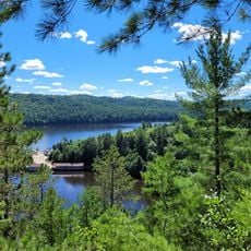
Opémican National Park
64.8 km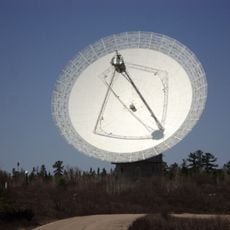
Algonquin 46m radio telescope
72.2 km
Sturgeon River House Museum
87.8 km
Opeongo River Provincial Park
110.8 km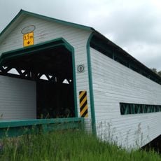
Pont Landry
119.6 km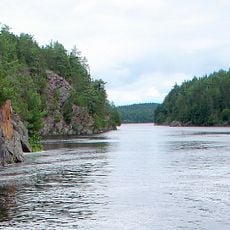
Mattawa River Provincial Park
20.1 km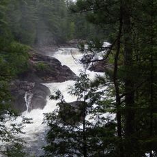
La Grande Chute
90.5 km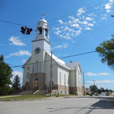
Église Notre-Dame-de-Lourdes
120.3 km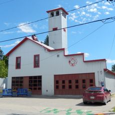
Caserne de pompiers de Lorrainville
120.2 km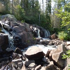
Chute à Ovide
117.2 km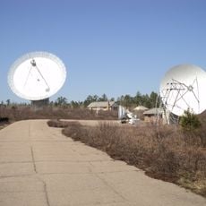
Algonquin 11m telescope
72.2 km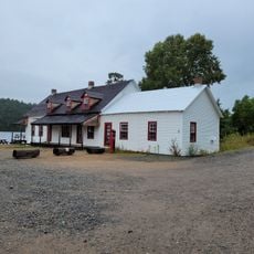
Poste de relais pour le flottage du bois d'Opémican
61.9 kmReviews
Visited this place? Tap the stars to rate it and share your experience / photos with the community! Try now! You can cancel it anytime.
Discover hidden gems everywhere you go!
From secret cafés to breathtaking viewpoints, skip the crowded tourist spots and find places that match your style. Our app makes it easy with voice search, smart filtering, route optimization, and insider tips from travelers worldwide. Download now for the complete mobile experience.

A unique approach to discovering new places❞
— Le Figaro
All the places worth exploring❞
— France Info
A tailor-made excursion in just a few clicks❞
— 20 Minutes