
Memorial Hall, government building in Selwyn, Ontario, Canada
Location: Selwyn
Address: 2 Queen Street (Lakefield)
GPS coordinates: 44.42239,-78.27243
Latest update: March 4, 2025 14:13

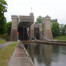
Peterborough Lift Lock
13 km
Peterborough Museum & Archives
13.1 km
Emmanuel United Church
13.1 km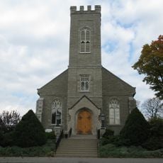
St. John the Evangelist Anglican Church
13.4 km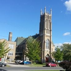
George Street United Church
13.1 km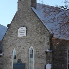
Christ Anglican Church
302 m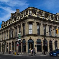
Morrow Building
13.4 km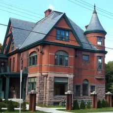
Sadleir House
12.3 km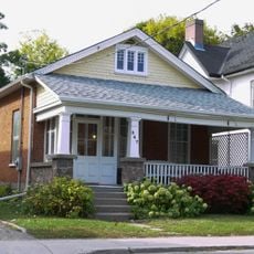
547 Water Street
13 km
William Dixon House
13.2 km
Henry Myers Cottage
13 km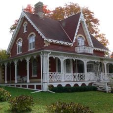
Henry Calcutt House
13.5 km
William Yelland Building
13.3 km
James Miller House
12.9 km
407-409 George Street North
13.5 km
269 Edinburgh Street
12.9 km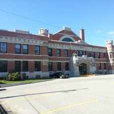
Peterborough Drill Hall / Armoury
13.3 km
Bierk Building
13.6 km
Harstone House
12.9 km
Hutchinson House
13.5 km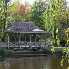
Pagoda Bridge
13.3 km
62 Dunlop Street
11.8 km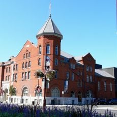
Peterborough Family YMCA
13.3 km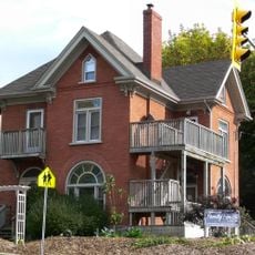
155 Hunter Street East
13.2 km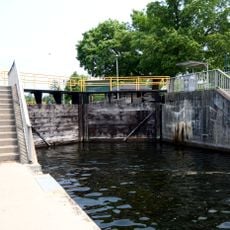
Young's Point Lock
8 km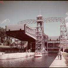
Lakefield Lock
424 m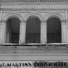
St. Martin's Parish Hall
12.6 km
Sutton-Deyman House
12.8 kmReviews
Visited this place? Tap the stars to rate it and share your experience / photos with the community! Try now! You can cancel it anytime.
Discover hidden gems everywhere you go!
From secret cafés to breathtaking viewpoints, skip the crowded tourist spots and find places that match your style. Our app makes it easy with voice search, smart filtering, route optimization, and insider tips from travelers worldwide. Download now for the complete mobile experience.

A unique approach to discovering new places❞
— Le Figaro
All the places worth exploring❞
— France Info
A tailor-made excursion in just a few clicks❞
— 20 Minutes