
M’bengué, place in Savanes, Ivory Coast
Location: M'Bengué Department
GPS coordinates: 10.00000,-5.90000
Latest update: April 29, 2025 05:38

Bobo Dioulasso Grand Mosque
219.1 km
Comoé National Park
251.4 km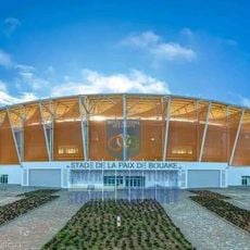
Stade de la Paix
274.6 km
Sélingué Dam
313.3 km
Mount Tenakourou
99.5 km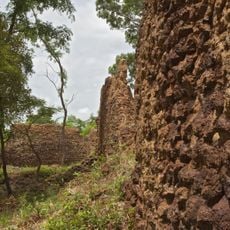
Ruins of Loropéni
258.4 km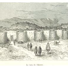
Sikasso tata
148.7 km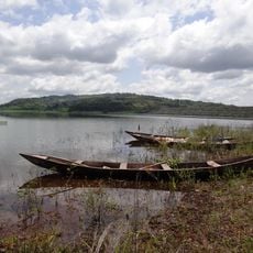
Lake Kossou
319.1 km
Marahoué National Park
323.1 km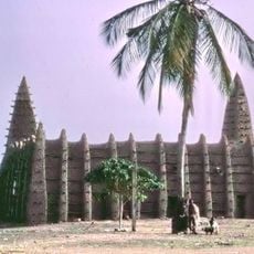
Kong mosque
170.4 km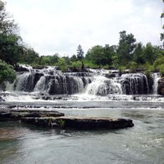
Karfiguéla waterfalls
142.9 km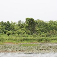
Mare aux Hippopotames
264 km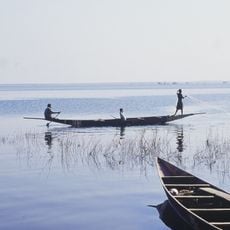
Lake Sélingué
312.2 km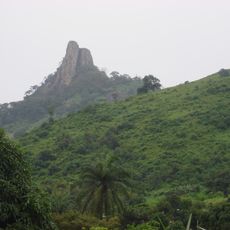
Mont Sângbé National Park
269.1 km
Comoé National Park Research Station
269.3 km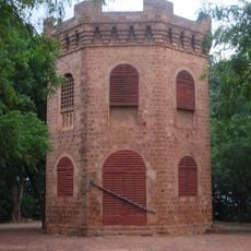
Mamelon
148.6 km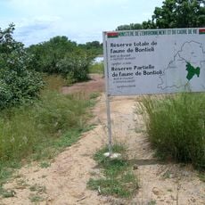
Bontioli Reserve
315.8 km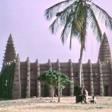
Sudanese style mosques in northern Côte d'Ivoire
170.4 km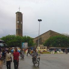
St. Teresa of Infant Jesus Cathedral in Bouaké
274.6 km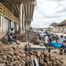
Marché de gros de Bouaké
273.9 km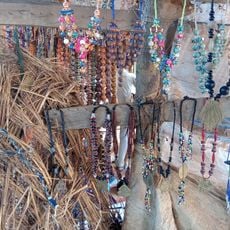
Tisserands traditionnels
68.9 km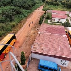
Liberty World
283.7 km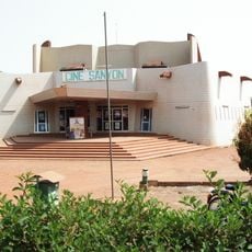
Ciné Sanyon
219.1 km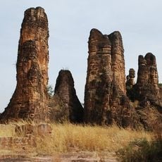
Pics de Sindou
109.8 km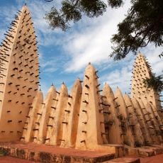
Dioulassoba
219.1 km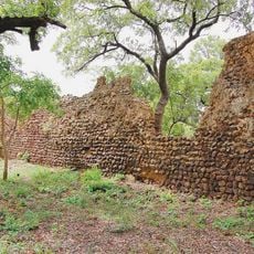
Ruins of Loropéni
255.4 km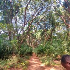
Forêt Classé de Kou (La Guinguette)
207.4 km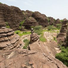
Dômes de Fabedougou
145.6 kmReviews
Visited this place? Tap the stars to rate it and share your experience / photos with the community! Try now! You can cancel it anytime.
Discover hidden gems everywhere you go!
From secret cafés to breathtaking viewpoints, skip the crowded tourist spots and find places that match your style. Our app makes it easy with voice search, smart filtering, route optimization, and insider tips from travelers worldwide. Download now for the complete mobile experience.

A unique approach to discovering new places❞
— Le Figaro
All the places worth exploring❞
— France Info
A tailor-made excursion in just a few clicks❞
— 20 Minutes