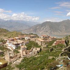
Rutog, township in Maizhokunggar, Lhasa, Tibet, China
Location: Maizhokunggar County
GPS coordinates: 29.69680,92.23330
Latest update: October 25, 2025 19:36
Ganden Monastery
73.5 km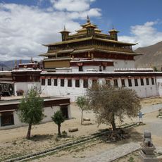
Samye
81.8 km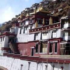
Drigung Monastery
45.7 km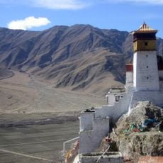
Yungbulakang Palace
74.5 km
Tradruk Temple
71.7 km
Sanga Monastery
84.7 km
Taktsé Castle
91.5 km
Dazi Bridge
82.8 km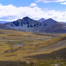
Mila Mountain
18.9 km
Densatil Monastery
50.9 km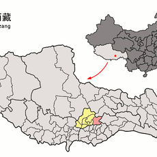
Chekha
38.7 km
Riwo Dechen monastery
91.6 km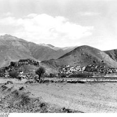
Dzong de Nédong
66.5 km
松卡石塔
88 km
Scenic viewpoint
69.2 km
Chin dam letters
51.4 km
Chin dam letters
42.8 km
Chin dam letters
42.5 km
Chitu La
67.1 km
Shuga La
68 km
318
7.2 km
Scenic viewpoint
53 km
Scenic viewpoint
52.6 km
Scenic viewpoint
88.6 km
Scenic viewpoint
66.2 km
Scenic viewpoint
66.2 km
Scenic viewpoint
66.9 km
Scenic viewpoint
66.5 kmReviews
Visited this place? Tap the stars to rate it and share your experience / photos with the community! Try now! You can cancel it anytime.
Discover hidden gems everywhere you go!
From secret cafés to breathtaking viewpoints, skip the crowded tourist spots and find places that match your style. Our app makes it easy with voice search, smart filtering, route optimization, and insider tips from travelers worldwide. Download now for the complete mobile experience.

A unique approach to discovering new places❞
— Le Figaro
All the places worth exploring❞
— France Info
A tailor-made excursion in just a few clicks❞
— 20 Minutes