龙坝镇, 中国云南省普洱市墨江县下辖的镇
Location: Mojiang Hani Autonomous County
GPS coordinates: 23.36113,101.80114
Latest update: March 3, 2025 04:58

Honghe Hani Rice Terraces
101.5 km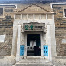
Zhou's House
163.4 km
南湖瀛洲亭
163.7 km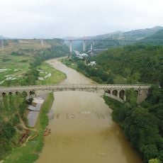
Kaiyuan Changhong Bridge
158.8 km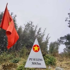
Phu Si Lung
130 km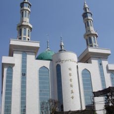
Najiaying Mosque
131.8 km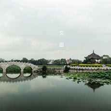
Jianshui Confucian Temple
107.9 km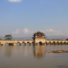
Shuanglong Bridge
104.9 km
Xiushan Ancient Architecture
127.7 km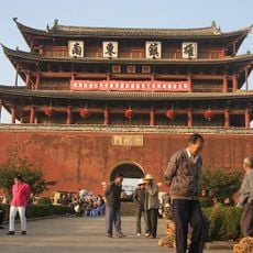
Chaoyang Gate (Jianshui)
108.8 km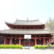
Main Hall of Zhilin Temple
107.9 km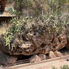
Fish Boundary Rock
153 km
Datunhai reservoir
154.5 km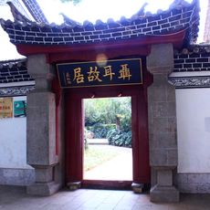
聂耳故居
134.2 km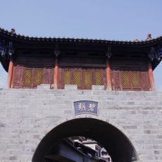
碧溪传统民居建筑群
19.3 km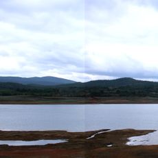
Chemuhe Shuiku
151.9 km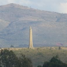
Wenbi Tower (Jianshui)
106.8 km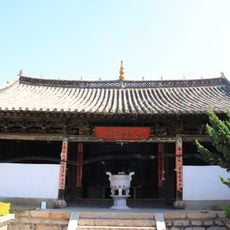
三圣宫
132.1 km
Dongfeng Shuiku (tubiganan sa Republikang Popular sa Tsina, Yunnan Sheng)
137.3 km
Datunhai reservoir
155 km
蒙自玉皇阁
163.5 km
Duoyishu Viewpoint
106 km
玉溪市博物馆
133 km
Phou Ya Ho Yèn
126.7 km
玉溪市红塔区聂耳故居纪念馆
134.1 km
Y Ma Ho (tumoy sa bukid sa Laos)
121.4 km
Phou Phyao
121 km
Honghe Hani and Yi Autonomous Prefecture Museum
160.7 kmReviews
Visited this place? Tap the stars to rate it and share your experience / photos with the community! Try now! You can cancel it anytime.
Discover hidden gems everywhere you go!
From secret cafés to breathtaking viewpoints, skip the crowded tourist spots and find places that match your style. Our app makes it easy with voice search, smart filtering, route optimization, and insider tips from travelers worldwide. Download now for the complete mobile experience.

A unique approach to discovering new places❞
— Le Figaro
All the places worth exploring❞
— France Info
A tailor-made excursion in just a few clicks❞
— 20 Minutes