
Colama, Berggipfel in der Volksrepublik China
Location: Tibet Autonomous Region
GPS coordinates: 30.89750,98.49750
Latest update: May 19, 2025 22:50
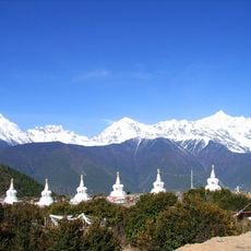
Meili Xue Shan
274.3 km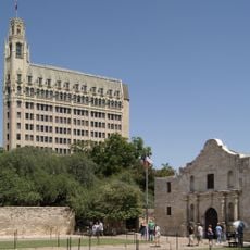
Alamo Mission in San Antonio
13085.4 km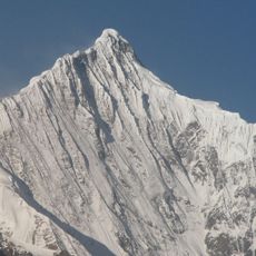
Kawagarbo
274.2 km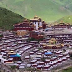
Dzogchen Monastery
140.6 km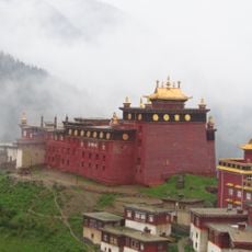
Palpung Monastery
88.3 km
Katok Monastery
62.7 km
Litang Monastery
197.3 km
Dzongsar Monastery
94.1 km
Palyul
47.4 km
Mingyong Glacier
273.1 km
Derge Parkhang
101.5 km
Triten Norbutse
254.4 km
Riwoche Monastery
197.2 km
Galden Jampaling Monastery
128.8 km
Karma Gon Monastery
182.9 km
Kandze Monastery
163.6 km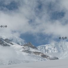
Bairiga
257.7 km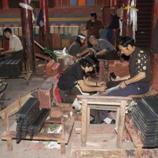
Gonchen Monastery
101.4 km
Thrangu Monastery
268.7 km
Sershul Monastery
190.8 km
Beri Gonpa
154.6 km
Jyekundo Monastery
273.5 km
Chöling Monastery
298.8 km
Dargye Monastery
145.5 km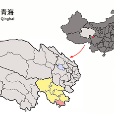
Dodrubchen Monastery
272.2 km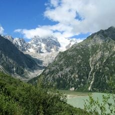
Rongme Ngatra
113 km
Nyitso Monastery
250.8 km
Chörten der dreißig Generäle des Königs Gesar von Ling und Tana-Tempel
289.6 kmReviews
Visited this place? Tap the stars to rate it and share your experience / photos with the community! Try now! You can cancel it anytime.
Discover hidden gems everywhere you go!
From secret cafés to breathtaking viewpoints, skip the crowded tourist spots and find places that match your style. Our app makes it easy with voice search, smart filtering, route optimization, and insider tips from travelers worldwide. Download now for the complete mobile experience.

A unique approach to discovering new places❞
— Le Figaro
All the places worth exploring❞
— France Info
A tailor-made excursion in just a few clicks❞
— 20 Minutes