
Qaht Township, Gemeinde in China
Location: Hoboksar Mongol Autonomous County
GPS coordinates: 46.81427,85.95168
Latest update: May 5, 2025 07:19
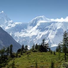
Belukha Mountain
336.5 km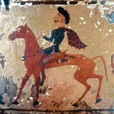
Pazyryk burials
348.4 km
Markakol State Nature Reserve
216 km
Dzungarian Gate
317.9 km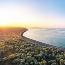
Alakol State Nature Reserve
327 km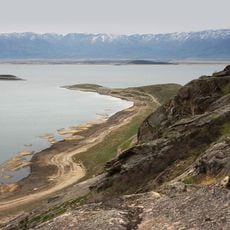
Bukhtarma Reservoir
290.9 km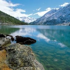
Katun Nature Reserve
290.1 km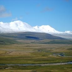
Hüiten Peak
294.3 km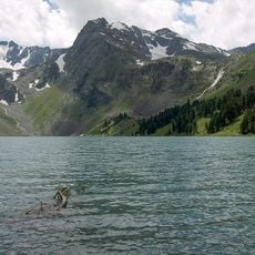
Multinskie lakes
352.4 km
Katon-Karagay National Park
275.2 km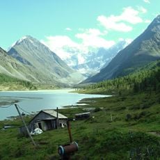
Akkem
347.1 km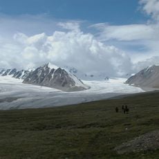
Altai Tavan Bogd National Park
277.9 km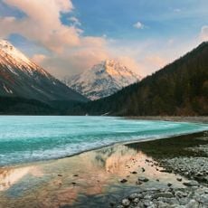
Lake Kucherla
342.5 km
Bigach Crater
353.5 km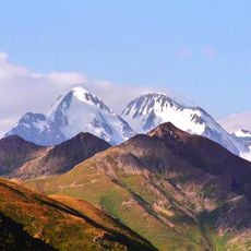
Gebler Glacier
332.5 km
Petroglyphic Complexes of the Mongolian Altai
334.2 km
Tarbagatai National Park
316.7 km
Nature Park Ukok
288.4 km
Ozero Tal'men'
334.9 km
Lednik Akkem
339.1 km
乌鲁木齐市植物园
348.9 km
Potanin Glacier
297.5 km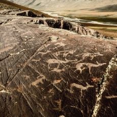
Tsagaan Salaa Rock Paintings
334.2 km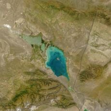
Alakol
328.2 km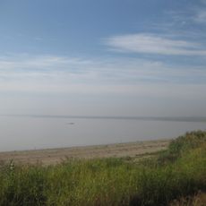
Mengjin Shuiku
324.7 km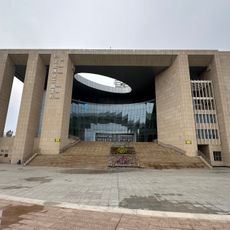
Karamay Library
161.8 km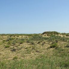
State Nature Sanctuary "Karatal Sands" (botanical)
106.1 km
Kuludzhun State Nature Sanctuary (zoological)
286.3 kmReviews
Visited this place? Tap the stars to rate it and share your experience / photos with the community! Try now! You can cancel it anytime.
Discover hidden gems everywhere you go!
From secret cafés to breathtaking viewpoints, skip the crowded tourist spots and find places that match your style. Our app makes it easy with voice search, smart filtering, route optimization, and insider tips from travelers worldwide. Download now for the complete mobile experience.

A unique approach to discovering new places❞
— Le Figaro
All the places worth exploring❞
— France Info
A tailor-made excursion in just a few clicks❞
— 20 Minutes