
Kirschau, human settlement in Germany
Location: Schirgiswalde-Kirschau
Elevation above the sea: 250 m
GPS coordinates: 51.10000,14.41667
Latest update: March 13, 2025 17:15
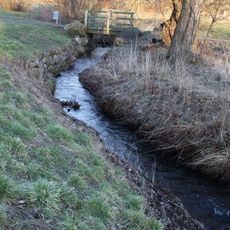
Pilkebach
1.2 km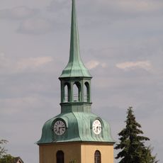
Evangelische Kirche Wilthen
1.1 km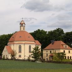
Johanneskirche und Friedhof Kirschau (Sachgesamtheit) Bautzener Straße 19
845 m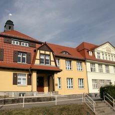
Grundschule Kirschau
1.2 km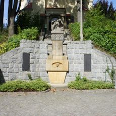
Johanneskirche
841 m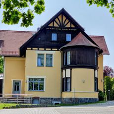
Villa Hünlich; Fabrikantenvilla mit gemauertem Torbogen am Nebengebäude Schulstraße 45
1.3 km
Kiefernmühle
1.1 km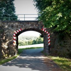
Eisenbahnviadukt
1 km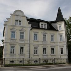
Mietvilla mit Einfriedung Bautzener Straße 13
980 m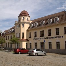
Weinbrennerei Wilthen
1.2 km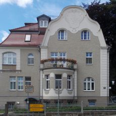
Villa mit Stützmauer und Einfriedung sowie Villengarten St.-Barbara-Platz 1
1.3 km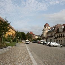
St.-Barbara-Platz
1.2 km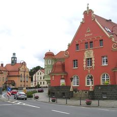
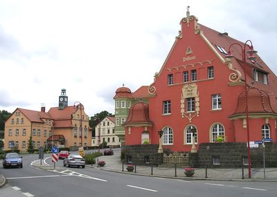
Postamt Kirschau
1.2 km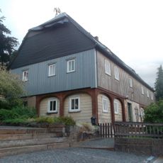
Kantorenhaus
1.1 km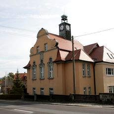
Rathaus Kirschau
1.3 km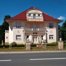
Zittauer Straße 53
1.2 km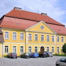
Herrenhaus Wilthen
1.2 km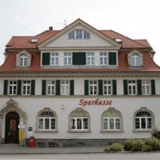
Sparkasse Kirschau
1.2 km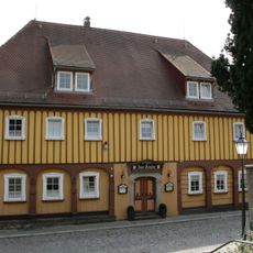
Gasthof Zur Linde
1.1 km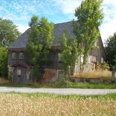
Himmelsmühle
1.3 km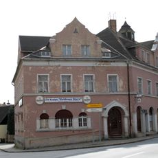
Wohnhaus mit Gaststätte „Goldener Stern“ und Laden Zittauer Straße 1
1.2 km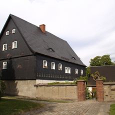
Pfarrhaus (Nr. 7) und östliches Nebengebäude (Nr. 5) Straße der Befreiung 5, 7
1 km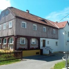
Talstraße 7
849 m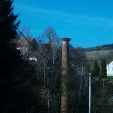
Papiermühle
658 m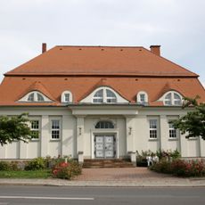
Turnhalle Kirschau
1 km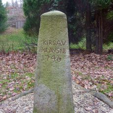
Dreiländerstein (Grenzstein) (Nähe Kesselstraße, am Bach)
1.1 km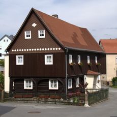
Wohnstallhaus (Umgebinde), ohne rückwärtigen Anbau Kleinpostwitzer Weg 1
824 m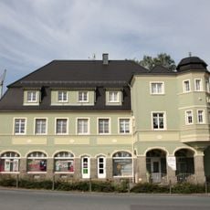
Wohnhaus mit Laden Zittauer Straße 4
1.2 kmReviews
Visited this place? Tap the stars to rate it and share your experience / photos with the community! Try now! You can cancel it anytime.
Discover hidden gems everywhere you go!
From secret cafés to breathtaking viewpoints, skip the crowded tourist spots and find places that match your style. Our app makes it easy with voice search, smart filtering, route optimization, and insider tips from travelers worldwide. Download now for the complete mobile experience.

A unique approach to discovering new places❞
— Le Figaro
All the places worth exploring❞
— France Info
A tailor-made excursion in just a few clicks❞
— 20 Minutes