
St. Veit, human settlement in Germany
Location: Pleinfeld
Elevation above the sea: 390 m
GPS coordinates: 49.10300,10.95620
Latest update: March 2, 2025 23:21
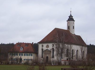
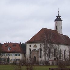
St. Vitus
18 m
Schloss Pleinfeld
2.2 km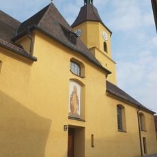
Kirche St. Nikolaus
2.2 km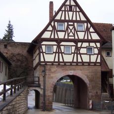
Spalter Tor
2.1 km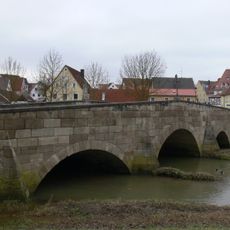
Rezatbrücke
2.3 km
Heimat- und Brauereimuseum Pleinfeld
2.2 km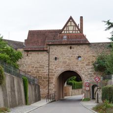
City walls of Pleinfeld
2.1 km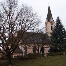
St. Petrus
2 km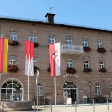
Rathaus
2.1 km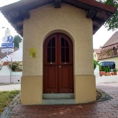
Hueber Chapel
2.2 km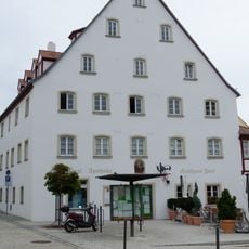
Marktplatz 2
2.2 km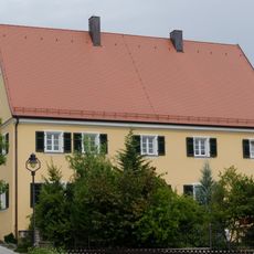
Pfarrhaus
2.2 km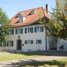
Pfarrhaus
17 m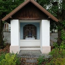
Kapelle der Sieben Schmerzens Mariens
2.1 km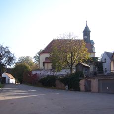
St. Johann Baptist
2.2 km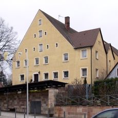
Haus Marktplatz 4
2.1 km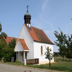
Dorfkapelle
1.6 km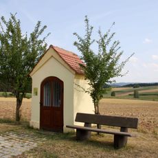
Wegkapelle Sankt Michael
1.4 km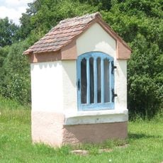
Wegkapelle
633 m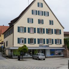
Wohn- und Geschäftshaus
2.2 km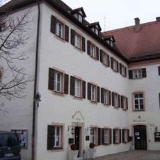
Bücherei Pleinfeld
2.2 km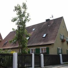
Bauernhaus
1.7 km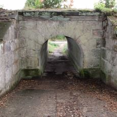
Wasser- bzw. Wegdurchlässe der Ludwig-Süd- Nordbahn
303 m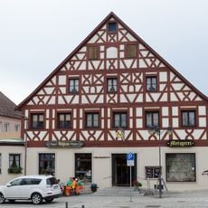
Gasthaus
2.2 km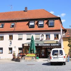
Gasthaus
2.2 km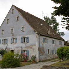
Bauernhaus
2.3 km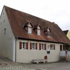
Ehemaliges Bauernhaus
2.2 km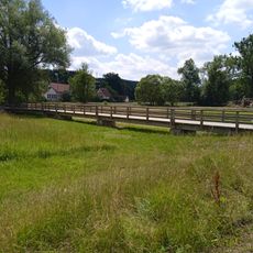
Joseph-Steinmayr-Steg
2.1 kmReviews
Visited this place? Tap the stars to rate it and share your experience / photos with the community! Try now! You can cancel it anytime.
Discover hidden gems everywhere you go!
From secret cafés to breathtaking viewpoints, skip the crowded tourist spots and find places that match your style. Our app makes it easy with voice search, smart filtering, route optimization, and insider tips from travelers worldwide. Download now for the complete mobile experience.

A unique approach to discovering new places❞
— Le Figaro
All the places worth exploring❞
— France Info
A tailor-made excursion in just a few clicks❞
— 20 Minutes