
Borken, human settlement in Germany
Location: Meppen
Elevation above the sea: 25 m
GPS coordinates: 52.72500,7.28722
Latest update: April 10, 2025 09:14
St. Martinus (Haren)
7.9 km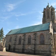
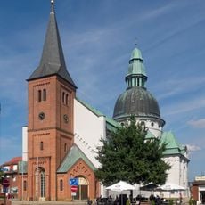
Saint Vitus Church (Meppen)
4 km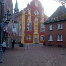
Gymnasialkirche Meppen
3.8 km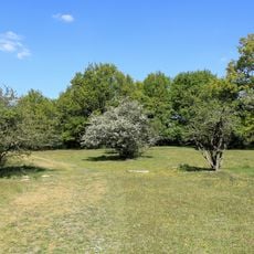
Borkener Paradies
3.2 km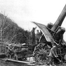
Schießplatz Meppen
3.2 km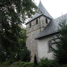
St. Vitus
5.1 km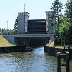
Meppen lock
5.8 km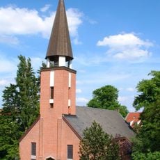
Gustav-Adolf-Kirche (Meppen)
3.3 km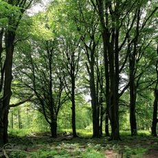
Tinner Loh
7.5 km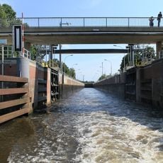
Hüntel lock
4 km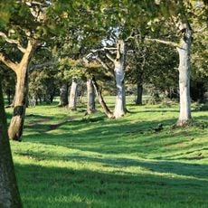
Meppener Kuhweide
6.8 km
Emsbad Meppen
3.7 km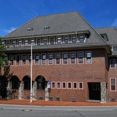
Högerhaus
3.3 km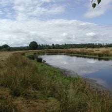
Natura 2000–Naturschutzgebiet in der unteren Haseniederung
9 km
Esterfelder Moor
3.7 km
Wekenborg
5.4 km
Jüdischer Friedhof
3.8 km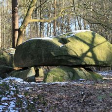
Der Steinerne Schlüssel
7.3 km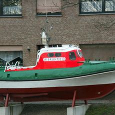
Bruntje
7.9 km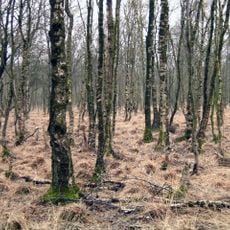
Dörgener Moor
6.5 km
St. Clemens
6 km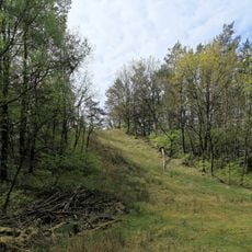
Flütenberg
4.7 km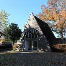
Friedhofskapelle Wesuwe
6.3 km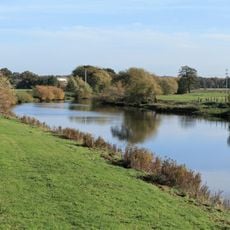
Natura 2000-Emsauen von Salzbergen bis Papenburg
2 km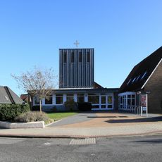
St.-Johannis-Kirche
7.7 km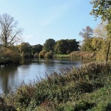
Ems
2.7 km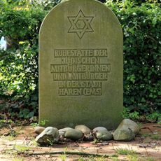
Jüdischer Friedhof Haren
9 km
Emstal (Landkreis Emsland)
7.2 kmReviews
Visited this place? Tap the stars to rate it and share your experience / photos with the community! Try now! You can cancel it anytime.
Discover hidden gems everywhere you go!
From secret cafés to breathtaking viewpoints, skip the crowded tourist spots and find places that match your style. Our app makes it easy with voice search, smart filtering, route optimization, and insider tips from travelers worldwide. Download now for the complete mobile experience.

A unique approach to discovering new places❞
— Le Figaro
All the places worth exploring❞
— France Info
A tailor-made excursion in just a few clicks❞
— 20 Minutes