
Buchenbühl, quarter of Nuremberg
Location: Nuremberg
Elevation above the sea: 338 m
Shares border with: Flughafen
GPS coordinates: 49.50417,11.11000
Latest update: March 6, 2025 08:53
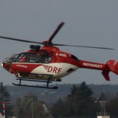
Christoph 27
2.9 km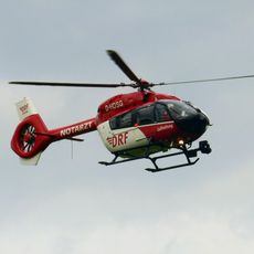
Christoph Nürnberg
2.9 km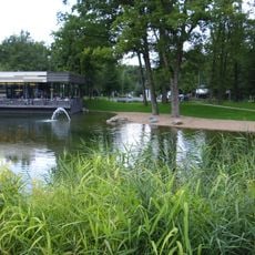
Schafhof
2.7 km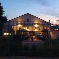
Merks Motor Museum
3 km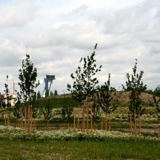
Flughafen
2.5 km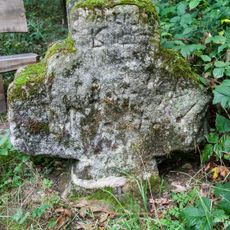
Frauenkreuz im Kraftshofer Forst
1.8 km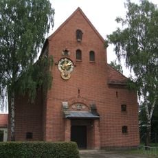
Melanchthonkirche
2 km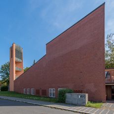
Himmelfahrtskirche Buchenbühl
224 m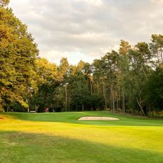
Golf-Club am Reichswald
2.1 km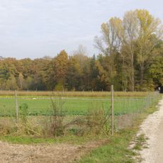
Kraftshofer Forst
1.5 km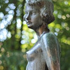
Brunnen Gräfenberger Straße Nürnberg
2.6 km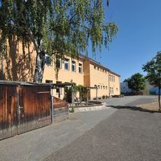
Volksschule im Loher Moos
2.5 km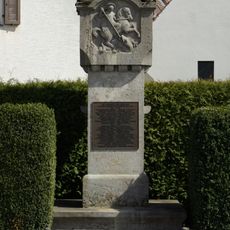
Kriegerdenkmal Lohe
3.1 km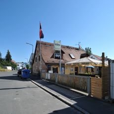
Sandsteinhaus
1.7 km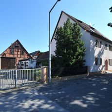
Wohnhaus
1.7 km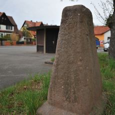
Paulusstein
160 m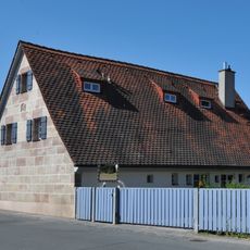
Ziegelsteinstraße 183
1.9 km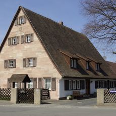
Kriegerlindenstraße 1 (Nuremberg)
3.1 km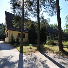
Ehemaliges Offiziersgebäude eines Luftnachrichtenlagers, jetzt Jugendhotel
666 m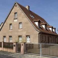
Loher Hauptstraße 100
3.2 km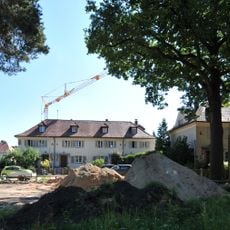
Wohnsiedlung (Nürnberg)
2.2 km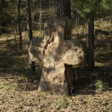
Harte Tränke
2.3 km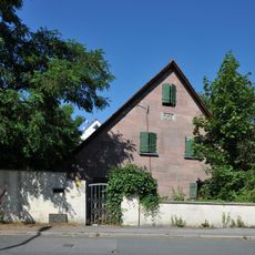
Wohnhaus
1.9 km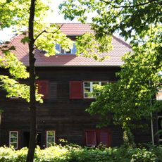
Wohnhaus
2.4 km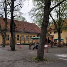
Festsaal Kalchreuther Straße 125 in Nürnberg
61 m
Brücke
426 m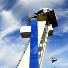
Kontrollturm Flughafen Nürnberg
3 km
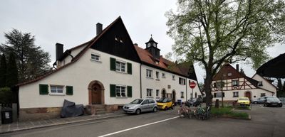
Gaststätte und Gemeindesaal der Siedlung Buchenbühl
37 mVisited this place? Tap the stars to rate it and share your experience / photos with the community! Try now! You can cancel it anytime.
Discover hidden gems everywhere you go!
From secret cafés to breathtaking viewpoints, skip the crowded tourist spots and find places that match your style. Our app makes it easy with voice search, smart filtering, route optimization, and insider tips from travelers worldwide. Download now for the complete mobile experience.

A unique approach to discovering new places❞
— Le Figaro
All the places worth exploring❞
— France Info
A tailor-made excursion in just a few clicks❞
— 20 Minutes