
Augustinerchorherrenstift Neunkirchen am Brand
Augustinerchorherrenstift Neunkirchen am Brand, monastery
Location: Neunkirchen am Brand
GPS coordinates: 49.61260,11.13010
Latest update: March 14, 2025 05:59
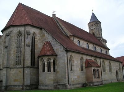
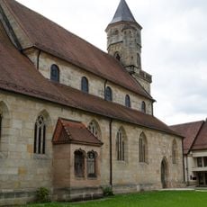
Stiftskirche
17 m
Chapel of the Holy Sepulchre
287 m
Altes Rathaus
34 m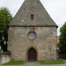
Kapelle
63 m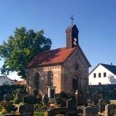
Friedhofskapelle
367 m
Wegkapelle
957 m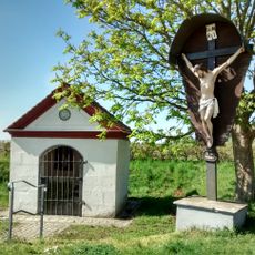
Wegkapelle
1.8 km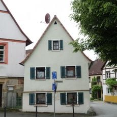
Bürgerhaus
58 m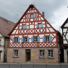
Bürgerhaus
59 m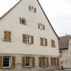
Gasthaus
282 m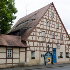
Gasthaus
340 m
Ackerbürgerhaus
286 m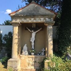
Kalvarienbergkapelle
1.8 km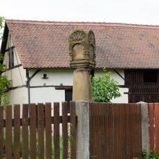
Marter
332 m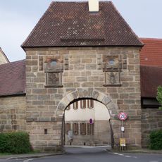
Torhaus
303 m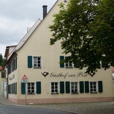
Gasthaus
81 m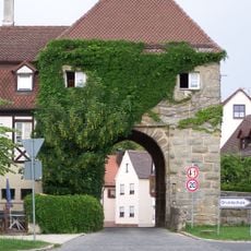
Torhaus
235 m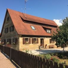
Bauernhaus
1.6 km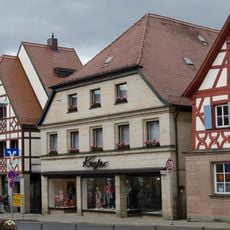
Bürgerhaus
62 m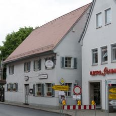
Gasthaus
58 m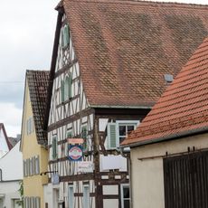
Gasthaus
234 m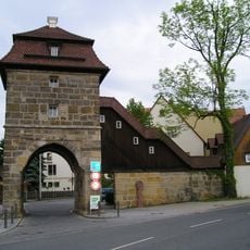
Toranlage
177 m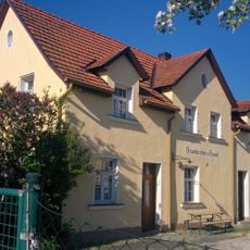
Station building of Neunkirchen a Brand station
234 m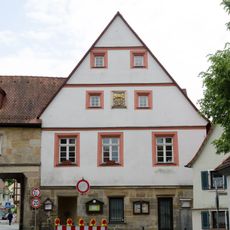
Neues Rathaus (Neunkirchen am Brand)
57 m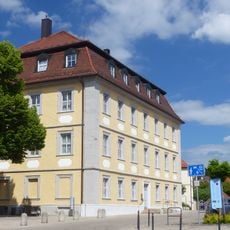
Amtshaus
25 m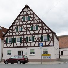
Bürgerhaus
172 m
Scheune
344 m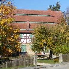
Bauernhaus
1.1 kmReviews
Visited this place? Tap the stars to rate it and share your experience / photos with the community! Try now! You can cancel it anytime.
Discover hidden gems everywhere you go!
From secret cafés to breathtaking viewpoints, skip the crowded tourist spots and find places that match your style. Our app makes it easy with voice search, smart filtering, route optimization, and insider tips from travelers worldwide. Download now for the complete mobile experience.

A unique approach to discovering new places❞
— Le Figaro
All the places worth exploring❞
— France Info
A tailor-made excursion in just a few clicks❞
— 20 Minutes