
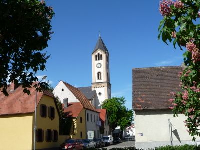
Mörsch, human settlement
Location: Frankenthal
Elevation above the sea: 94 m
GPS coordinates: 49.55070,8.37716
Latest update: March 13, 2025 16:42
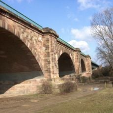
Theodor Heuss Bridge
2.9 km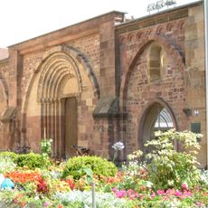
Klosterruine Frankenthal (Pfalz)
2.3 km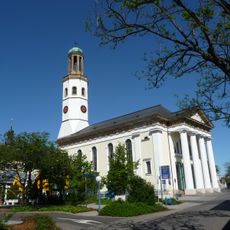
Zwölf-Apostel-Kirche, Frankenthal
2.3 km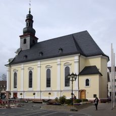
Dreifaltigkeitskirche
2.4 km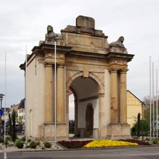
Speyerer Tor
2.7 km
Wormser Tor
2.2 km
Ballauf-Wilhelmswörth
3 km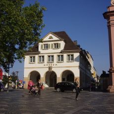
Erkenbert-Museum
2.4 km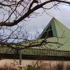
Lutherkirche (Frankenthal)
3.5 km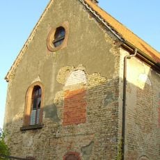
Roxheim synagogue
3.4 km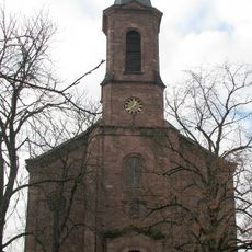
Dreifaltigkeitskirche
4.7 km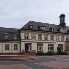
Musikschule (Frankenthal)
2.9 km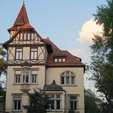
Mahlastraße 21 Frankenthal
2.9 km
Alter Schlachthof
1.6 km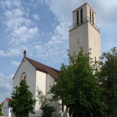
St.-Martin-Kirche
3.9 km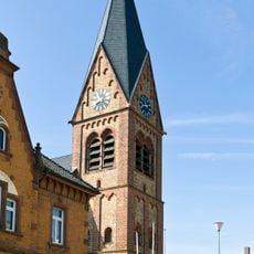
St. Laurentius
4.4 km
Feierabendhaus
1.9 km
Evangelical Church
2.6 km
Auferstehungskirche
3.8 km
Katholische Kirche
4.1 km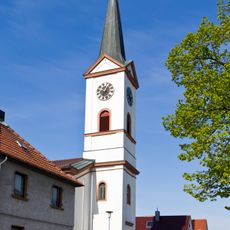
St. Maria Magdalena
3.3 km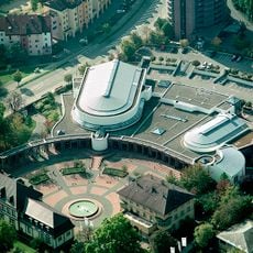
Congressforum Frankenthal
2.9 km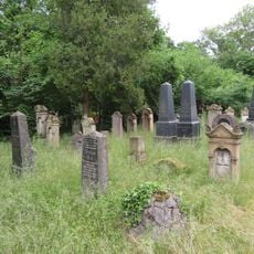
Alter jüdischer Friedhof Frankenthal
1.9 km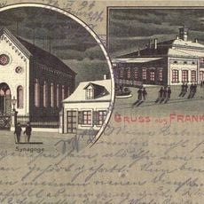
Synagoge Frankenthal (Pfalz)
2.5 km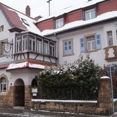
Edigheimer Straße 95
3.4 km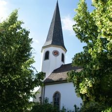
Protestantische Kirche Beindersheim
4.2 km
Welschgasse 9
2.6 km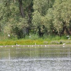
Hinterer Roxheimer Altrhein
2.6 kmReviews
Visited this place? Tap the stars to rate it and share your experience / photos with the community! Try now! You can cancel it anytime.
Discover hidden gems everywhere you go!
From secret cafés to breathtaking viewpoints, skip the crowded tourist spots and find places that match your style. Our app makes it easy with voice search, smart filtering, route optimization, and insider tips from travelers worldwide. Download now for the complete mobile experience.

A unique approach to discovering new places❞
— Le Figaro
All the places worth exploring❞
— France Info
A tailor-made excursion in just a few clicks❞
— 20 Minutes