
Ellhausen, human settlement in Germany
Location: Lohmar
Elevation above the sea: 160 m
GPS coordinates: 50.85320,7.24832
Latest update: April 25, 2025 22:43
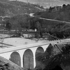
Ummigsbachbrücke
6 km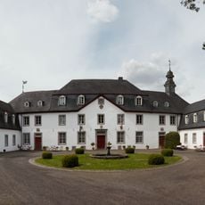
Schloss Auel
4.9 km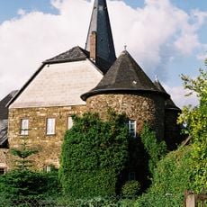
Burg Honrath
6 km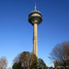
Fernmeldeturm Lohmar-Birk
3.5 km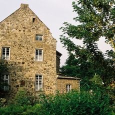
Burg Lohmar
3.5 km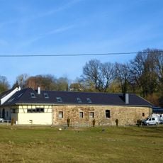
Burg Schönrath
4.7 km
Haus Sülz
3.9 km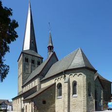
St. Margareta
6.2 km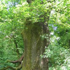
Boxhohn-Eiche
5 km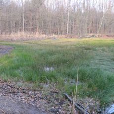
Gagelbestand
4.6 km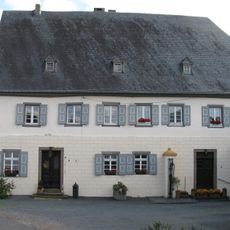
Burg Hausdorp
2.7 km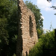
Ulrather Hof
6 km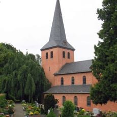
Saint George Church
3.9 km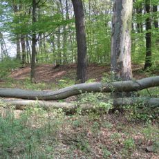
Ringwall Güldenberg
4.4 km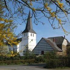
Evangelische Kirche (Honrath)
6 km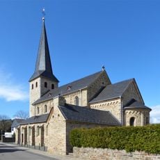
Church of the Beheading of St. John the Baptist
3.3 km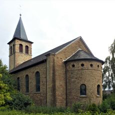
Evangelische Kirche
5.3 km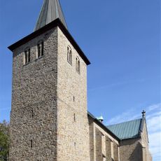
St. Georg (Seelscheid)
5.6 km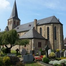
St. Mariä Geburt
2.8 km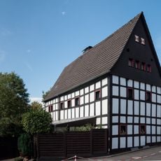
Haus Steeg
5.3 km
Holy Name of Mary Church
4.3 km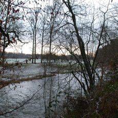
Aggeraue zwischen Lohmar und Siegburg
4.8 km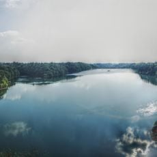
Wahnbach Reservoir
5.6 km
Wahner Heide im Rhein-Sieg-Kreis
6.2 km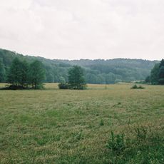
Naafbachtal
1.4 km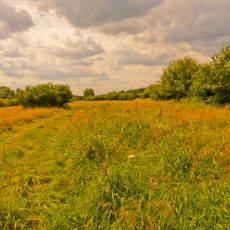
Aggeraue
4 km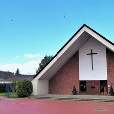
Christuskirche (Lohmar)
3.2 km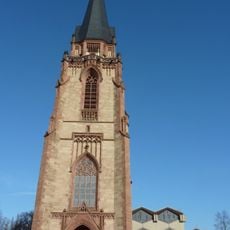
St. Anno (Siegburg)
6.2 kmVisited this place? Tap the stars to rate it and share your experience / photos with the community! Try now! You can cancel it anytime.
Discover hidden gems everywhere you go!
From secret cafés to breathtaking viewpoints, skip the crowded tourist spots and find places that match your style. Our app makes it easy with voice search, smart filtering, route optimization, and insider tips from travelers worldwide. Download now for the complete mobile experience.

A unique approach to discovering new places❞
— Le Figaro
All the places worth exploring❞
— France Info
A tailor-made excursion in just a few clicks❞
— 20 Minutes