
Empelde, human settlement in Germany; District of Ronnenberg
Location: Ronnenberg
Elevation above the sea: 62 m
GPS coordinates: 52.34190,9.66611
Latest update: March 2, 2025 22:41
Sri Muthumariamman Tempel Hannover
1 km
Ökumenisches Kirchencentrum Mühlenberg (Hannover)
1.8 km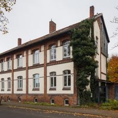
Körtingsdorf
2 km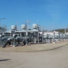
Empelde gas caverns
1.1 km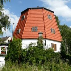
Wettberger Mühle
1.9 km
Anna-Blume-Brunnen
1.7 km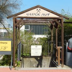
Niedersächsisches Museum für Kali- und Salzbergbau
789 m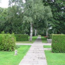
Stadtteilfriedhof Badenstedt neu
1.8 km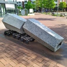
Mühlenberg peace memorial
1.7 km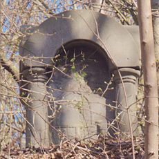
Busse-Stein
1.6 km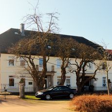
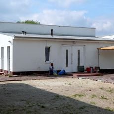
Nenndorfer Straße 83
463 m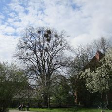
Natural monument Tilia Empelder Straße
1.4 km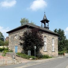
Empelder Kapelle
218 m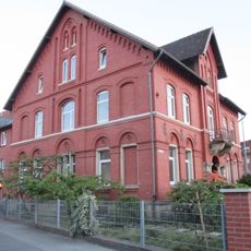
Empelder Straße 1, Hannover
1.5 km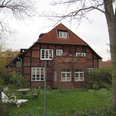
Kapellenweg 8, Hannover
1.3 km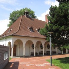
Paul-Gerhardt-Kirche
1.4 km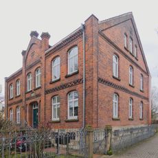
Hudeplan 2, Hannover
1.6 km
Burgundische Straße 25, Hannover
1.2 km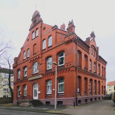
An der Feldmark 5, Hannover
1.7 km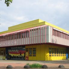
Stadt-/ Schulbibliothek Mühlenberg
1.7 km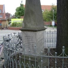
War Memorial 1870/71
1.5 km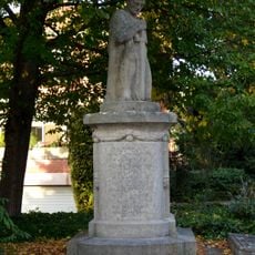
Monument to the fallen in the First World War
2.1 km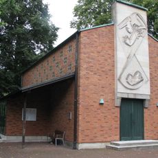
Cemetery chapel Stadtteilfriedhof Badenstedt
1.8 km
Schacht "Hansa II"
617 m
Schacht "Hansa III"
825 m
Riechersstraße 22, Hannover
1.4 km
Schacht "Hansa I"
1.1 km
Angel of the Last Judgement
1.8 kmReviews
Visited this place? Tap the stars to rate it and share your experience / photos with the community! Try now! You can cancel it anytime.
Discover hidden gems everywhere you go!
From secret cafés to breathtaking viewpoints, skip the crowded tourist spots and find places that match your style. Our app makes it easy with voice search, smart filtering, route optimization, and insider tips from travelers worldwide. Download now for the complete mobile experience.

A unique approach to discovering new places❞
— Le Figaro
All the places worth exploring❞
— France Info
A tailor-made excursion in just a few clicks❞
— 20 Minutes