
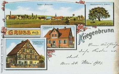
Kriegenbrunn, district of Erlangen
Location: Erlangen
Elevation above the sea: 299 m
GPS coordinates: 49.55490,10.95390
Latest update: March 16, 2025 16:22
St. Matthäus
1.5 km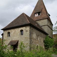
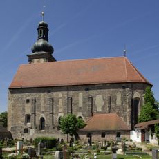
St.-Johannis-Kirche
76 m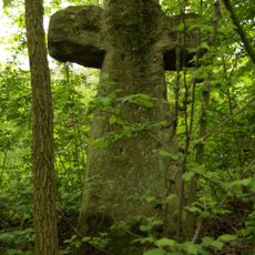
Steinkreuz bei Frauenaurach
869 m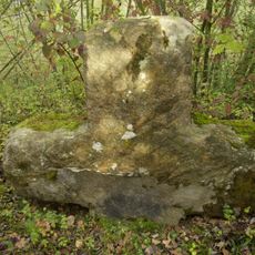
Steinkreuz bei Kriegenbrunn
1.3 km
Aurachtal
1.4 km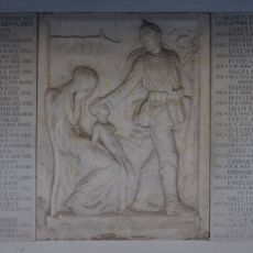
Friedhof Frauenaurach
1.5 km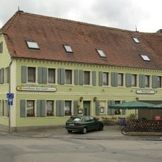
Gasthaus Zur Linde
117 m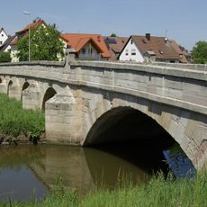
Aurachbrücke
1.5 km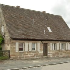
Ehemaliges Gemeindehaus
288 m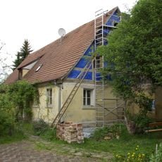
Bauernhaus
134 m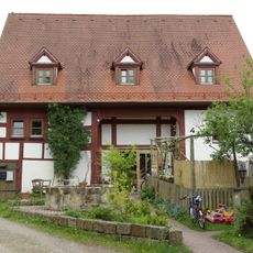
Fachwerkstadel
130 m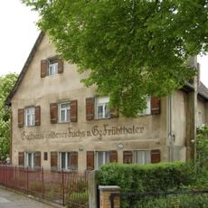
Gasthaus Goldener Fuchs
178 m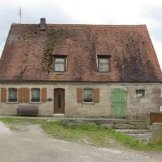
Bauernhaus
38 m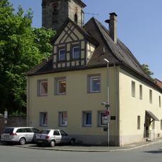
Ehemalige Gemeindekanzlei, zuvor markgräfliches Amtshaus
1.5 km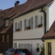
Wallenrodstraße 21
1.5 km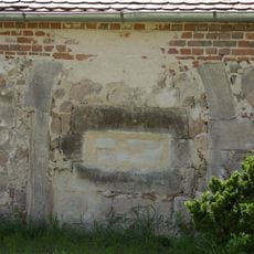
Reste des ehemaligen Dormitoriums und Refektoriums des ehemaligen Dominikanerinnenklosters
1.4 km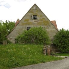
Bauernhaus
75 m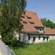
Klostermühle
1.4 km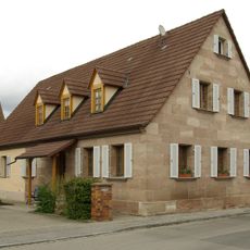
Bauernhaus
201 m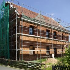
Ehemaliges Wohnhaus des Ziegeleibesitzers G. M. Lutz
1.4 km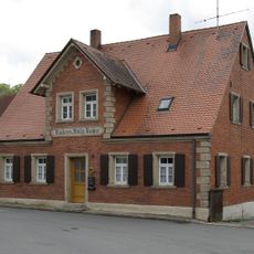
Kriegenbrunner Straße 15
147 m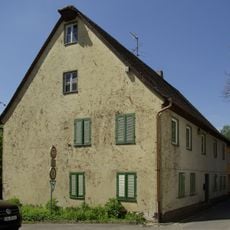
Ehemalige Kaserne
1.4 km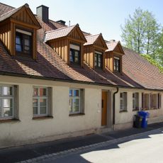
Ehemalige Diensthäuser
1.4 km
Bauernhaus
203 m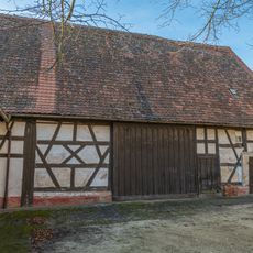
Scheune Wallensteinstraße 5 in Erlangen
174 m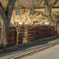
Einfriedung Wallensteinstraße 5 in Erlangen
170 m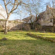
Friedhofsmauer Bruckweiherstraße 2 in Erlangen
73 m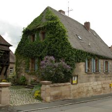
Ehemaliges Pfarrhaus
89 mReviews
Visited this place? Tap the stars to rate it and share your experience / photos with the community! Try now! You can cancel it anytime.
Discover hidden gems everywhere you go!
From secret cafés to breathtaking viewpoints, skip the crowded tourist spots and find places that match your style. Our app makes it easy with voice search, smart filtering, route optimization, and insider tips from travelers worldwide. Download now for the complete mobile experience.

A unique approach to discovering new places❞
— Le Figaro
All the places worth exploring❞
— France Info
A tailor-made excursion in just a few clicks❞
— 20 Minutes