
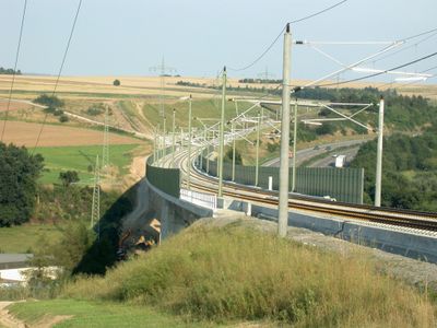
Wörsbachtalbrücke, Eisenbahnbrücke der Schnellfahrstrecke Köln–Rhein/Main
Location: Brechen
Inception: 2002
GPS coordinates: 50.35700,8.15352
Latest update: March 7, 2025 01:43
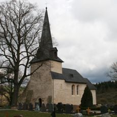
Berger Kirche
760 m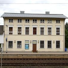
Niederbrechen station
607 m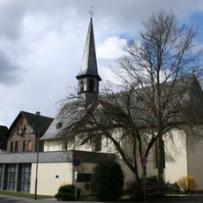
St. Georg
1.1 km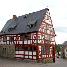
Altes Rathaus (Niederbrechen)
1.1 km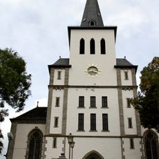
St. Maximin
1.2 km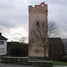
Obertorturm
1.2 km
Bergstraße 16
1.1 km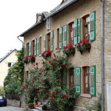
Nikolausstraße 12
1 km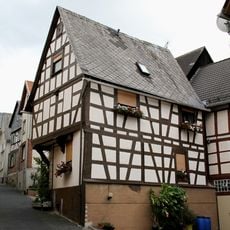
Burgstraße 3
1.2 km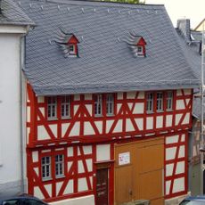
Bergstraße 14
1.1 km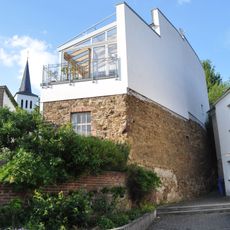
Bergstraße 7
1.1 km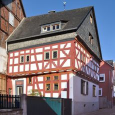
Bergstraße 31
1.1 km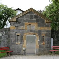
Wasserreservoir Langhecker Straße
1.5 km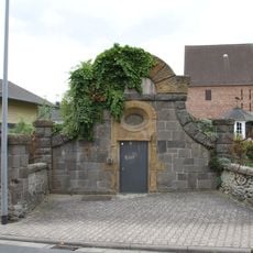
Wasserreservoir Langhecker Straße 6
1.2 km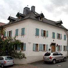
Wilhelmstraße 2
1.1 km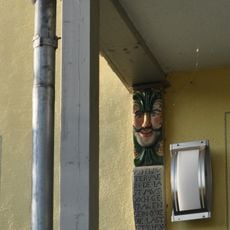
Bergstraße 23
1.1 km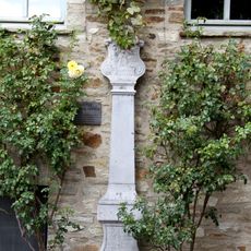
Bildstock am Alten Rathaus
1.1 km
Ringmauer
988 m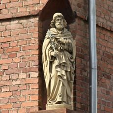
Hausfigur Markstraße 1
1 km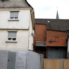
Rathausstraße 19
1.1 km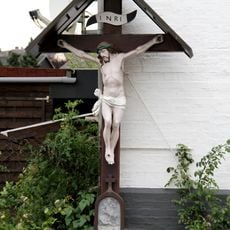
Kruzifix Villmarer Straße
1.1 km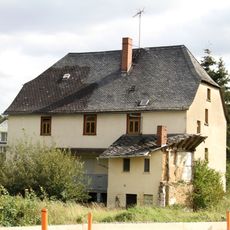
Kollasmühle
761 m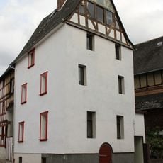
Wilhelmstraße 7
1.1 km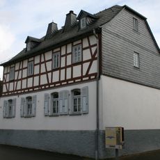
Alte Rathausschule
1.1 km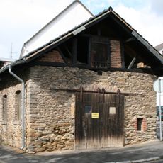
Alte Schmiede
1.1 km
Wilhelmstraße 3
1.2 km
Bergstraße 10
1.1 km
Bergstraße 3/5
1.1 kmReviews
Visited this place? Tap the stars to rate it and share your experience / photos with the community! Try now! You can cancel it anytime.
Discover hidden gems everywhere you go!
From secret cafés to breathtaking viewpoints, skip the crowded tourist spots and find places that match your style. Our app makes it easy with voice search, smart filtering, route optimization, and insider tips from travelers worldwide. Download now for the complete mobile experience.

A unique approach to discovering new places❞
— Le Figaro
All the places worth exploring❞
— France Info
A tailor-made excursion in just a few clicks❞
— 20 Minutes