
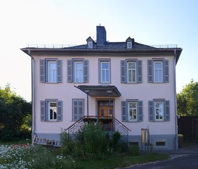
Evangelisches Pfarrhaus Dauborn, Gebäude in Dauborn in der Gemeinde Hünfelden im Landkreis Limburg-Weilburg (Hessen)
Location: Hünfelden
Address: Rheinstraße
GPS coordinates: 50.32772,8.17461
Latest update: March 10, 2025 23:33
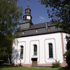
Evangelische Kirche Dauborn
92 m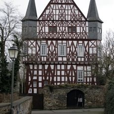
Steinsches Haus, Kirberg
2.2 km
Jüdischer Friedhof
1.7 km
Langgasse 45
1.5 km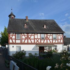
Eufinger Straße 26
703 m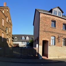
Friedrichstraße 1 und 6
856 m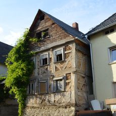
Eufinger Straße 29
673 m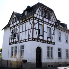
Mühlstraße 2
469 m
Gesamtanlage Eufinger Straße
679 m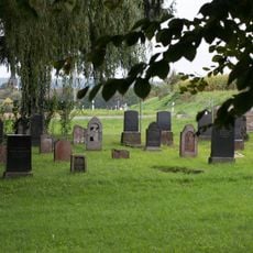
Jüdischer Friedhof
1.6 km
Nassauer Straße 2
411 m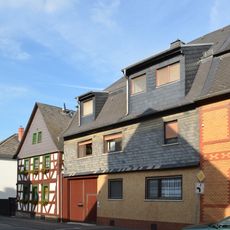
Gesamtanlage Neuherbergstrasse
515 m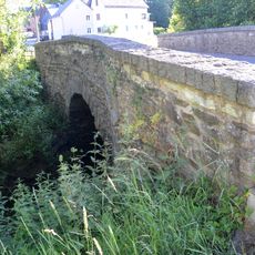
Wörsbachbrücke
628 m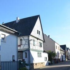
Langgasse 33
1.6 km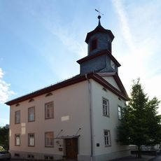
Eufinger Straße 28
715 m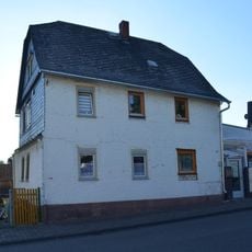
Friedrichstraße 2
878 m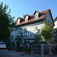
(Schulgäßchen)
708 m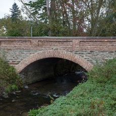
Wörsbach-Brücke
582 m
Neuherbergstraße 8
470 m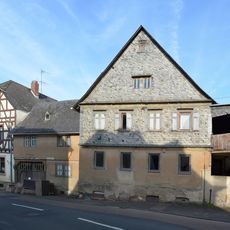
Nassauer Straße 60
75 m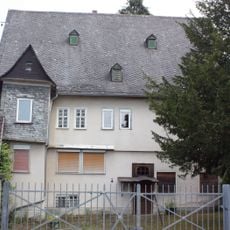
Bubenheimer Hof
2.2 km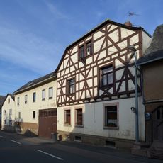
Nassauer Straße 58
66 m
Nassauer Straße 28
213 m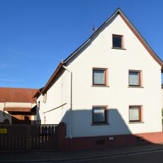
Hohlgasse 8
1.5 km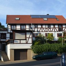
Eufinger Straße 41
751 m
Evangelische Kirche Neesbach
1.5 km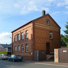
Grubenstraße 27
433 m
Langgasse 52
1.6 kmVisited this place? Tap the stars to rate it and share your experience / photos with the community! Try now! You can cancel it anytime.
Discover hidden gems everywhere you go!
From secret cafés to breathtaking viewpoints, skip the crowded tourist spots and find places that match your style. Our app makes it easy with voice search, smart filtering, route optimization, and insider tips from travelers worldwide. Download now for the complete mobile experience.

A unique approach to discovering new places❞
— Le Figaro
All the places worth exploring❞
— France Info
A tailor-made excursion in just a few clicks❞
— 20 Minutes