
Westerwanna, human settlement in Germany
Location: Wanna
Elevation above the sea: 5 m
GPS coordinates: 53.73840,8.78304
Latest update: March 21, 2025 05:30
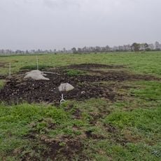
Großsteingrab im Ahlen-Falkenberger Moor
5.1 km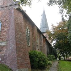
St.-Jacobi
6.9 km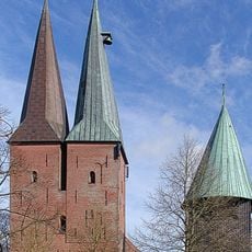
St. Nicolai
9.6 km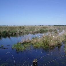
Ahlen-Falkenberger Moor, Halemer/Dahlemer See
6.2 km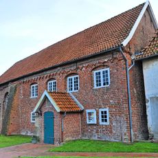
Holy Cross Church
9.2 km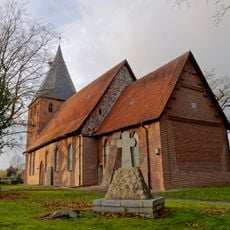
St. Marien
8.5 km
Villa Gehben
9.7 km
Steinkiste Flögeln
8.6 km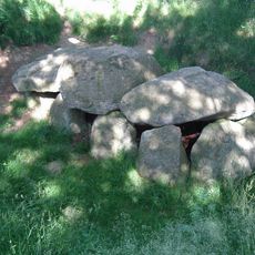
Großsteingräber bei Wanna
4 km
Am Flögelner See
9.6 km
Warningsacker
7.8 km
St. Paulikirche
8.3 km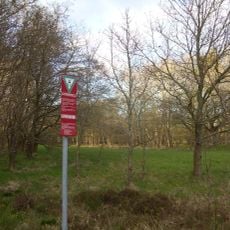
Aßbütteler Moor
2.9 km
Dornburg (Flögeln)
8 km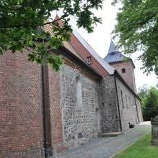
St. Nicolai-Kirche
4.4 km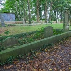
Jüdischer Friedhof (Midlum)
9.4 km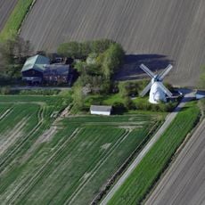
Windmühle Lüdingworth
6.5 km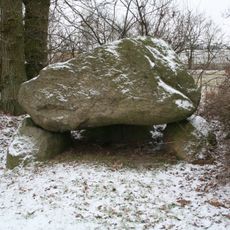
Großsteingrab Wanhöden
7.3 km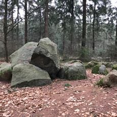
Kronskark
3.8 km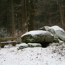
Hohensteine
7.5 km
Herrschaftliches Moor
5.3 km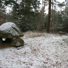
Großsteingrab Midlum 1
7.6 km
Hinter der Träncke im Flögelner Holz
9.3 km
St. Johannis-Kirche
9.2 km
Steingrab am Postweg
2.3 km
Aßbütteler und Herrschaftliches Moor
3.6 km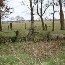
Steingrab Wanna 12
4 km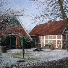
Heimatmuseum Wanna
590 mReviews
Visited this place? Tap the stars to rate it and share your experience / photos with the community! Try now! You can cancel it anytime.
Discover hidden gems everywhere you go!
From secret cafés to breathtaking viewpoints, skip the crowded tourist spots and find places that match your style. Our app makes it easy with voice search, smart filtering, route optimization, and insider tips from travelers worldwide. Download now for the complete mobile experience.

A unique approach to discovering new places❞
— Le Figaro
All the places worth exploring❞
— France Info
A tailor-made excursion in just a few clicks❞
— 20 Minutes