
Westlicher Riesrand, protected area in the European Union defined by the habitats directive in Baden-Württemberg, Germany
Location: Kirchheim am Ries
Location: Riesbürg
Location: Bopfingen
Location: Unterschneidheim
Inception: 2004
GPS coordinates: 48.86361,10.40778
Latest update: March 4, 2025 22:52
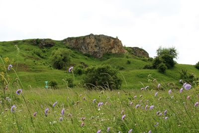
Ipf
3.8 km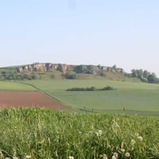
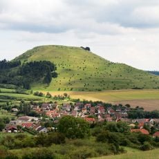
Gold Berg
1 km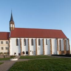
Mariä Himmelfahrt
1.7 km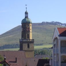
St. Blasius
4.1 km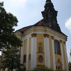
Mariä Heimsuchung (Flochberg)
3.3 km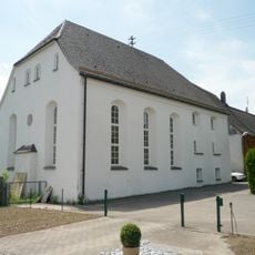
Synagoge Oberdorf
4.5 km
Wallfahrtskapelle Jagstheim
3.4 km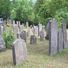
Jüdischer Friedhof
5.1 km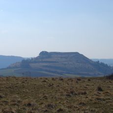
Blasienberg
2 km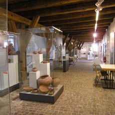
Museum im Seelhaus
4 km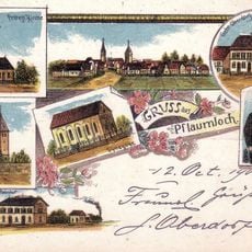
Synagoge
2.5 km
Goldberg
722 m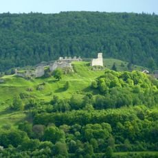
Schlossberg mit Ruine Flochberg
3.6 km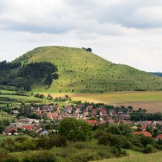
Ipf mit Blasenberg und Reimersbergle
2.9 km
Ipf
3.8 km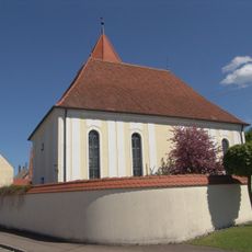
St. Gallus
4.8 km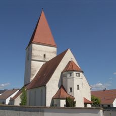
Marienkirche
4.2 km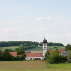
Katholische Pfarrkirche St. Michael
5 km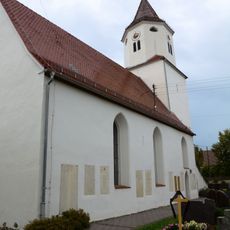
St. Oswald (Ehringen)
5 km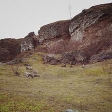
Beiberg-Buchberg
4.3 km
Lutheran church Pflaumloch
2.4 km
Hauptstraße 5
5.1 km
1 Linde in Jagstheim
3.4 km
Schlossberg mit Ruine Flochberg
3.5 km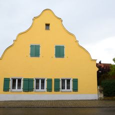
Hauptstraße 4
5.1 km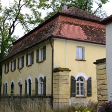
Hauptstraße 1
5.1 km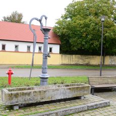
Pumpbrunnen
5.1 km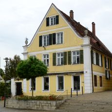
Hauptstraße 17 (Wallerstein)
5.2 kmReviews
Visited this place? Tap the stars to rate it and share your experience / photos with the community! Try now! You can cancel it anytime.
Discover hidden gems everywhere you go!
From secret cafés to breathtaking viewpoints, skip the crowded tourist spots and find places that match your style. Our app makes it easy with voice search, smart filtering, route optimization, and insider tips from travelers worldwide. Download now for the complete mobile experience.

A unique approach to discovering new places❞
— Le Figaro
All the places worth exploring❞
— France Info
A tailor-made excursion in just a few clicks❞
— 20 Minutes