
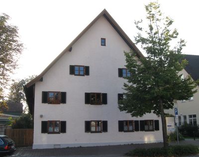
Ehem. Bauernhaus, building in Hadern, Upper Bavaria, Germany
Location: Munich
Address: Heiglhofstraße 1
GPS coordinates: 48.11485,11.47910
Latest update: March 7, 2025 12:41
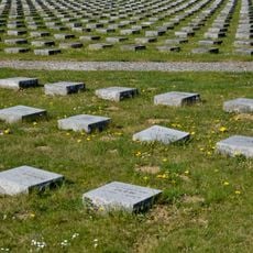
Munich Forest Cemetery
1.7 km
Christoph München
1.1 km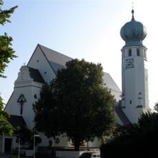
St. Canisius
241 m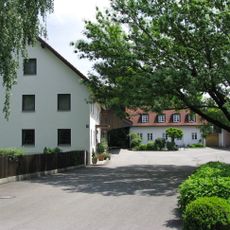
Stürzerhof
902 m
St. Peter's Church
122 m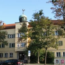
Würmtalstraße
305 m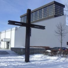
Erscheinung des Herrn
1.3 km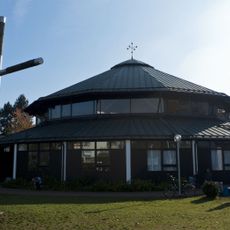
St. Ignatius (Munich)
921 m
Waldfriedhofstraße
1.7 km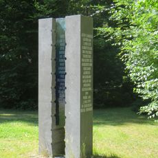
Gustav Landauer Memorial
1.4 km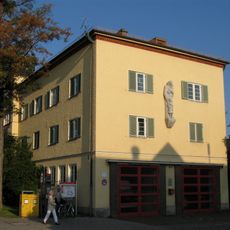
Großhadern Town Hall
97 m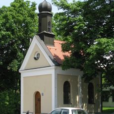
Kapelle St. Leonhard, München-Kleinhadern
823 m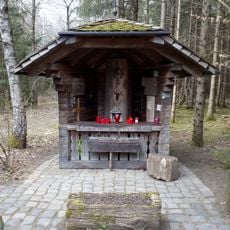
Christ im Stamm
1.5 km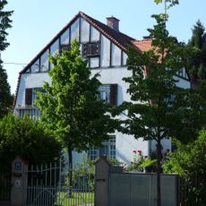
Villa
815 m
Waldfriedhof, Gebiet nördl. des Schlosses Fürstenried einschl. Schloß und Schloßpark, Geländestreifen entlang der Allee zwischen Kreuzhof und Fürstenried, Waldgebiet südl. Albert-Roßhaupter-Str. (Sendlinger Wald), Allee der Albert-Roßhaupter-Str
1.6 km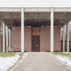
Leichenhalle Zöllerstraße 21 in München
1.7 km
Bildsäule
931 m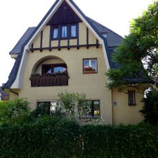
Pelargonienweg 8
825 m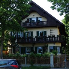
Villa
878 m
Ehem. Bauern- und Wirtshaus
196 m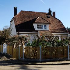
Wohnhaus
1 km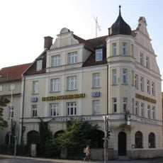
Weißes Bräuhaus
34 m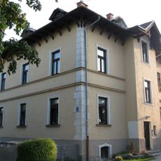
Malerische Villa
251 m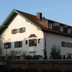
Bauernanwesen
164 m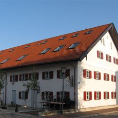
Ehem. Bauernhaus
43 m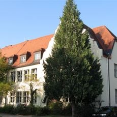
Canisiusschule Hadern
178 m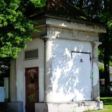
Transformatorenhäuschen
828 m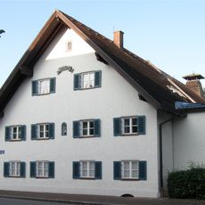
Ehem. Bauernhof
82 mReviews
Visited this place? Tap the stars to rate it and share your experience / photos with the community! Try now! You can cancel it anytime.
Discover hidden gems everywhere you go!
From secret cafés to breathtaking viewpoints, skip the crowded tourist spots and find places that match your style. Our app makes it easy with voice search, smart filtering, route optimization, and insider tips from travelers worldwide. Download now for the complete mobile experience.

A unique approach to discovering new places❞
— Le Figaro
All the places worth exploring❞
— France Info
A tailor-made excursion in just a few clicks❞
— 20 Minutes