
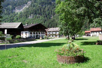
Ortskern Graswang, historischer Siedlungsbereich des kleinen Gebirgsweilers nördlich der Durchgangsstraße. Seine wenigen Bauernhäuser lagern sich um einen angerartigen Platz; es handelt sich um Einfirsthöfe mit alpenländischem Flachsatteldach. Die Häuser stammen
Location: Ettal
Address: Ortskern
GPS coordinates: 47.57269,11.02622
Latest update: March 12, 2025 17:19
Kofel
3 km
Pürschling
2.8 km
Notkarspitze
3 km
Teufelstättkopf
3.4 km
Josefskapelle
2.2 km
Zahn
1.3 km
Ettaler Weidmoos
2.8 km
Kohlbach
2.3 km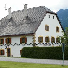
Ettaler Mühle
3.6 km
Rappenkopf
2.4 km
Markgraben
3.4 km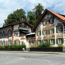
Hänsel-und-Gretel-Heim
3.9 km
Villa
3.6 km
Fischerwirt
97 m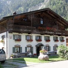
Untere Dorfstraße 3
32 m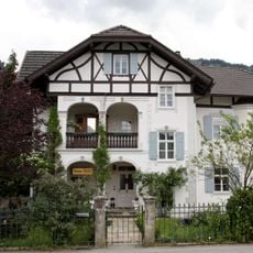
Rottenbucher Straße 32
3.7 km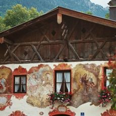
Doppelhaus
3.9 km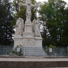
Kreuzigungsgruppe Oberammergau
3.2 km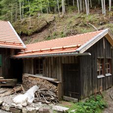
Schneiderlas Mühle
3.9 km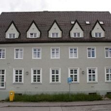
Postamt Oberammergau
3.7 km
Latschenkopf
3.4 km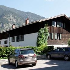
Obere Dorfstraße 1
104 m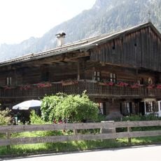
Untere Dorfstraße 1
39 m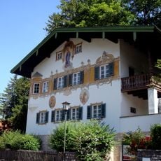
Ettaler Straße 49
3.9 km
Untere Dorfstraße 11
68 m
Gertrudiskapelle
567 m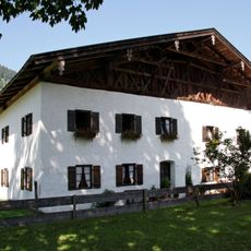
Linderhofer Straße 6
45 m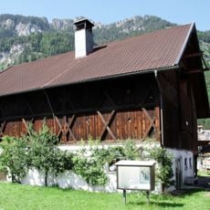
Linderhofer Straße 10
73 mReviews
Visited this place? Tap the stars to rate it and share your experience / photos with the community! Try now! You can cancel it anytime.
Discover hidden gems everywhere you go!
From secret cafés to breathtaking viewpoints, skip the crowded tourist spots and find places that match your style. Our app makes it easy with voice search, smart filtering, route optimization, and insider tips from travelers worldwide. Download now for the complete mobile experience.

A unique approach to discovering new places❞
— Le Figaro
All the places worth exploring❞
— France Info
A tailor-made excursion in just a few clicks❞
— 20 Minutes