
Angermühle, Satteldachbau teilweise mit Blockbau-Obergeschoss, Laube, verschaltem Kniestock und Traufbundwerk am Wirtschaftsteil, 2. Hälfte 18. Jahrhundert, im 19. Jahrhundert erhöht;
Location: Egling
Address: Angermühle 1
GPS coordinates: 47.92006,11.50613
Latest update: March 23, 2025 12:39

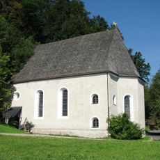
St. Sebald
563 m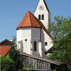
Mariä Himmelfahrt
2.4 km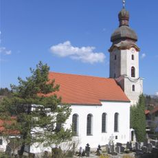
St. Peter und Paul
2.2 km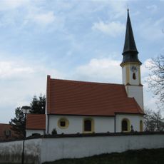
St. Valentin (Aufhofen, Egling)
2.5 km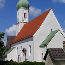
St. Martin (Egling)
384 m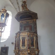
Pulpit of Mariä Himmelfahrt (Ergertshausen)
2.4 km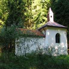
Kindswieskapelle
2.6 km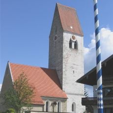
Saint John the Baptist Church
1.9 km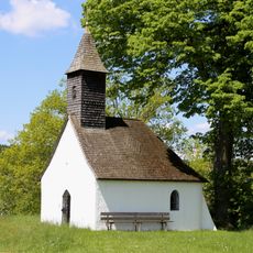
Kapelle in Dettenhausen
1.9 km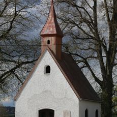
Ortskapelle
1.9 km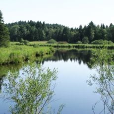
Mooshamer Weiher
1.9 km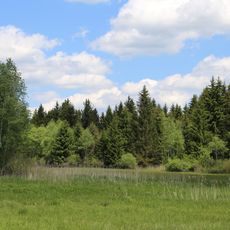
Eglinger und Ascholdinger Filze
1.9 km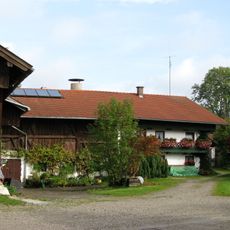
Bauernhaus
2.4 km
Amtmannstraße 4
2.1 km
Sauerlacher Straße 8
2.2 km
Wohnteil eines Bauernhauses
2.2 km
Gräfin-Justitia-Straße 5
2.2 km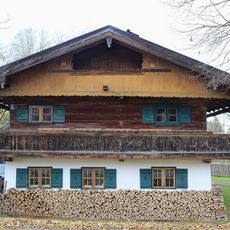
Hauptstraße 12
2.2 km
Schulstraße 2
2.1 km
Ehemals Kleinbauernhaus
2.1 km
Keltenstraße 20
2 km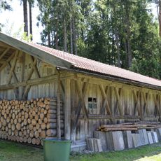
Stadel
2.4 km
Sauerlacher Straße 8a
2.2 km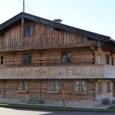
Schmiedbergstraße 4
2.3 km
Weiherweg 1
2.3 km
Marienstraße 22
2 km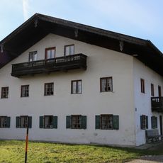
Hauptstraße 26
2.2 km
Hauptstraße 24
2.2 kmReviews
Visited this place? Tap the stars to rate it and share your experience / photos with the community! Try now! You can cancel it anytime.
Discover hidden gems everywhere you go!
From secret cafés to breathtaking viewpoints, skip the crowded tourist spots and find places that match your style. Our app makes it easy with voice search, smart filtering, route optimization, and insider tips from travelers worldwide. Download now for the complete mobile experience.

A unique approach to discovering new places❞
— Le Figaro
All the places worth exploring❞
— France Info
A tailor-made excursion in just a few clicks❞
— 20 Minutes