
Kreuzstein Tittinger Höhe
Kreuzstein Tittinger Höhe, mittelalterlich; an der Straße nach Titting (Ostseite); daneben Bildstock, Kalksteinpfeiler mit vergoldetem Eisenkreuz, Ende 19. Jahrhundert (erneuert)
Location: Titting
Address: Tittinger Höhe
GPS coordinates: 48.98416,11.21818
Latest update: October 17, 2025 10:40
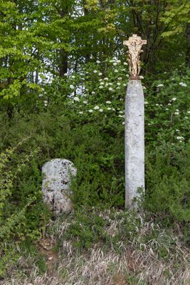
Cultural heritage D-1-6933-0011 in Titting
3.3 km
Schloss Titting
1.4 km
St. Laurentius
3.3 km
St. Michael
1.4 km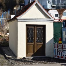
Wegkapelle Emsinger Straße
1.5 km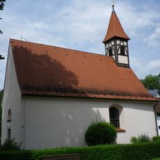
St. Martin (Titting)
1.4 km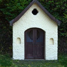
Wegkapelle
3.5 km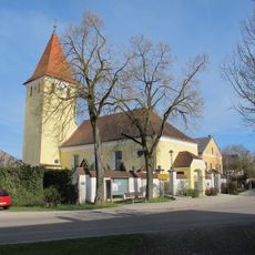
St. Johannes der Täufer
2.7 km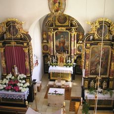
St. Petrus
2.2 km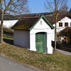
Wegkapelle am Kreuzberg
1.6 km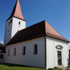
St. Johann Baptist
3.5 km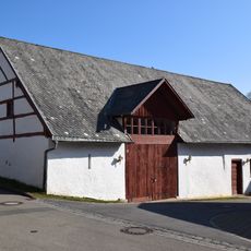
Stallstadel Nähe Am Kreuzberg in Titting
1.5 km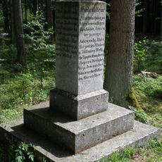
Gedenkstein
1.7 km
Ehemaliges Schulhaus
1.4 km
Mühle
2.4 km
Hofkapelle
2 km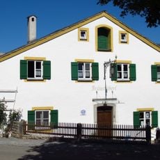
Am Kreuzberg 4
1.5 km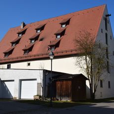
Wirtschaftsgebäude Am Kreuzberg 1 in Titting
1.4 km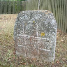
Kreuzstein Lindenweg
2.7 km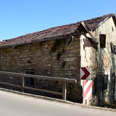
Bauernhaus, Haus 8
3.1 km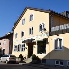
Marktstraße 25
1.4 km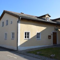
Hauptstraße 10
3.6 km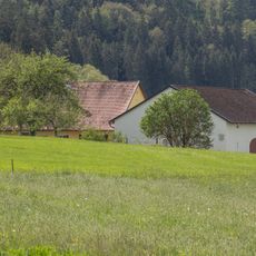
Scheune Tafelmühle 1 in Titting
2.4 km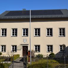
Pfarrhaus Am Stock 15 in Titting
1.4 km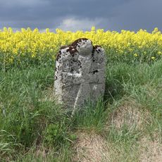
Kreuzstein
2.9 km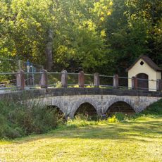
Brücke über die Anlauter
3.5 km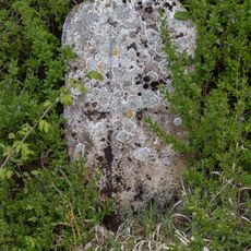
Kreuzstein Tittinger Höhe
0 m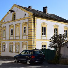
Marktstraße 14
1.4 kmReviews
Visited this place? Tap the stars to rate it and share your experience / photos with the community! Try now! You can cancel it anytime.
Discover hidden gems everywhere you go!
From secret cafés to breathtaking viewpoints, skip the crowded tourist spots and find places that match your style. Our app makes it easy with voice search, smart filtering, route optimization, and insider tips from travelers worldwide. Download now for the complete mobile experience.

A unique approach to discovering new places❞
— Le Figaro
All the places worth exploring❞
— France Info
A tailor-made excursion in just a few clicks❞
— 20 Minutes