
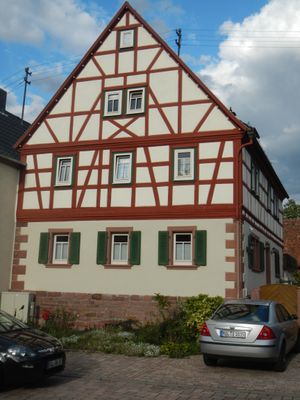
Bauernhaus, cultural heritage monument D-6-76-121-28 (0) in Elsenfeld, Bavaria
Location: Elsenfeld
Address: Mechenharder Straße 21
GPS coordinates: 49.82818,9.20289
Latest update: March 2, 2025 19:43
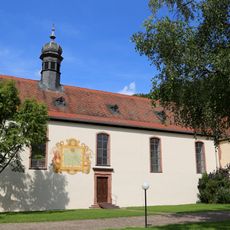
Himmelthal Monastery
1.4 km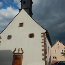
Pfarrkirche
28 m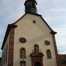
Kirche
416 m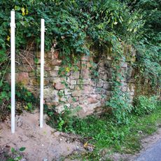
Bunker 301 Forstwald
1.8 km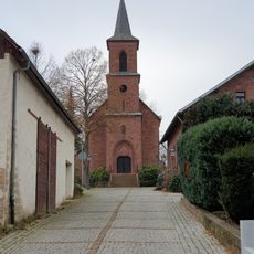
Kirche
2.4 km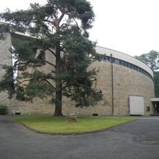
Katholische Pfarrkirche St. Pius
272 m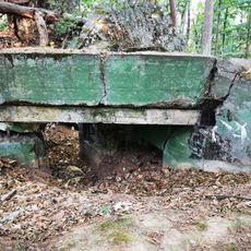
Bunker 304 Forstwald
2.7 km
Bunker 292 Elsenfeld
3.2 km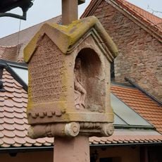
Bildstock
2.5 km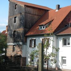
Mühle
3.2 km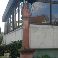
Bildstock
3.3 km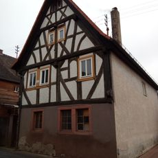
Wohnhaus
3.4 km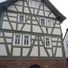
Wohnhaus
61 m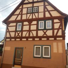
Bauernhaus
328 m
Bunker 308 Erlenbach
3.3 km
Bunker 306 Erlenbach
3 km
Bunker 290 Elsenfeld
3.3 km
Bunker 307 Erlenbach
3 km
Bunker 289 Kleinwallstadt
3.4 km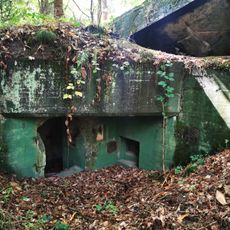
Bunker 305 Forstwald
2.9 km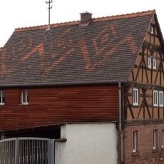
Wohnhaus
3.4 km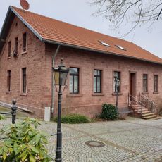
Bürgerzentrum
2.4 km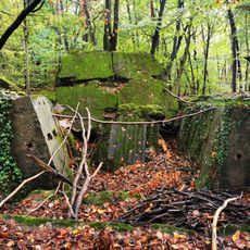
Bunker 291 Elsenfeld
3.2 km
Bunker 295 Elsenfeld
1.9 km
Bunker 293 Elsenfeld
2.8 km
Bunker 317 Erlenbach
3.2 km
Bunker 302 Elsenfeld
2.3 km
Bunker 294 Elsenfeld
2.6 kmReviews
Visited this place? Tap the stars to rate it and share your experience / photos with the community! Try now! You can cancel it anytime.
Discover hidden gems everywhere you go!
From secret cafés to breathtaking viewpoints, skip the crowded tourist spots and find places that match your style. Our app makes it easy with voice search, smart filtering, route optimization, and insider tips from travelers worldwide. Download now for the complete mobile experience.

A unique approach to discovering new places❞
— Le Figaro
All the places worth exploring❞
— France Info
A tailor-made excursion in just a few clicks❞
— 20 Minutes