
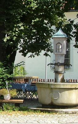
Brunnen, mit Mittelsäule in Form eines Bildstocks, bezeichnet 1814 und
Location: Weiler-Simmerberg
Address: Ellhofer Straße 2
GPS coordinates: 47.58635,9.94437
Latest update: March 6, 2025 12:15
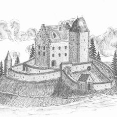
Burg Ellhofen
1.1 km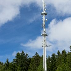
Sender Weiler im Allgäu
1.3 km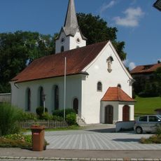
St. Joseph
42 m
Katholische Kapelle St. Sebastian
2 km
Katholische Pfarrkirche St. Peter und Paul
1.9 km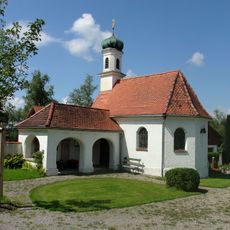
Cemetery chapel Simmerberg
213 m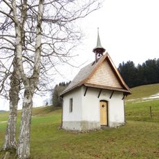
Katholische Feldkapelle St. Anton
998 m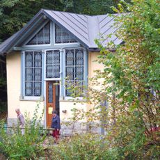
Lourdeskapelle
2 km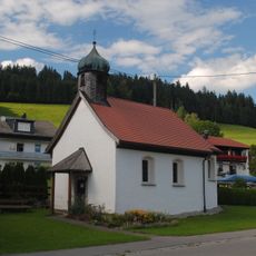
Katholische Kapelle St. Agatha und Sebastian
1.8 km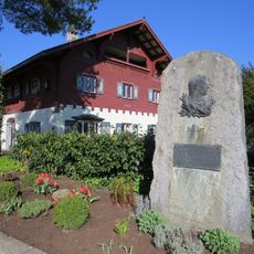
Schiller-Denkmal
88 m
Dorfbrunnen aus Gusseisen
1.8 km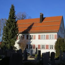
Katholisches Pfarrhaus
2 km
Ehemaliges Bauernhaus
1.9 km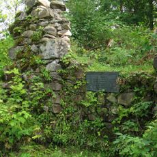
Burgruine Ellhofen
1.1 km
Ehemaliger Salzstadel
36 m
Marienbrunnen
99 m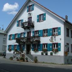
Gasthaus zum Adler
17 m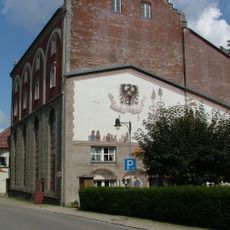
Brauhaus Simmerberg
53 m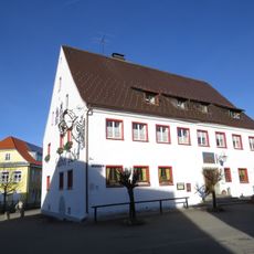
Ehemaliges Amtshaus des Deutschen Ordens
2 km
Wohnhaus
19 m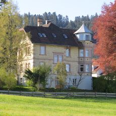
Villenartiges Wohnhaus
233 m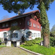
Bauernhaus
95 m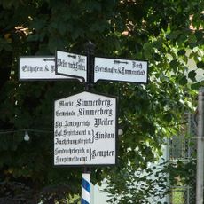
Gusseiserner Wegweiser nach Weiler
6 m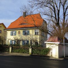
Villenartiges Wohnhaus
141 m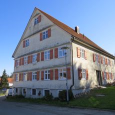
Pfarrhaus
140 m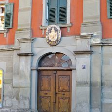
Ehemalige Kattunfabrik
2 km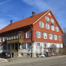
Ehemaliges Bauernhaus und Tabakfabrik
1.7 km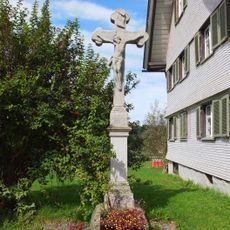
Sandsteinkruzifix
1.6 kmReviews
Visited this place? Tap the stars to rate it and share your experience / photos with the community! Try now! You can cancel it anytime.
Discover hidden gems everywhere you go!
From secret cafés to breathtaking viewpoints, skip the crowded tourist spots and find places that match your style. Our app makes it easy with voice search, smart filtering, route optimization, and insider tips from travelers worldwide. Download now for the complete mobile experience.

A unique approach to discovering new places❞
— Le Figaro
All the places worth exploring❞
— France Info
A tailor-made excursion in just a few clicks❞
— 20 Minutes