
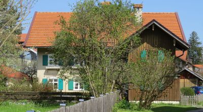
Ehemalige Sölde, zweigeschossiger Satteldachbau mit hakenförmigem Anbau, frühes 19. Jahrhundert, Dachausbau wohl um 1900
Location: Sulzberg
Address: Jodbadstraße 9
GPS coordinates: 47.66214,10.35134
Latest update: April 17, 2025 22:34
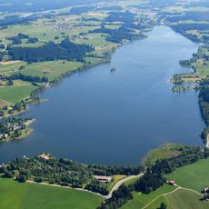
Rottachsee
4.8 km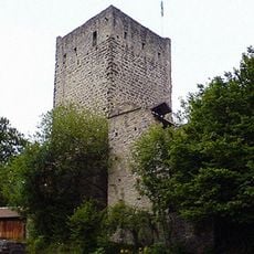
Burg Sulzberg
1 km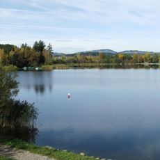
Sulzberger-See
2.1 km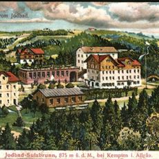
Jodbad Sulzbrunn
2.7 km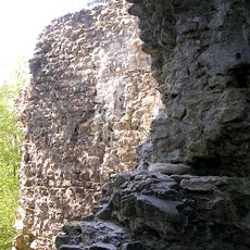
Burg Neuenburg
3.4 km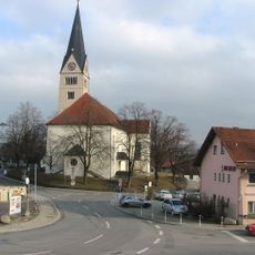
St. Martin und Alexander
3.7 km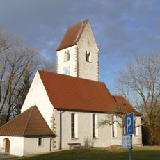
St. Cosmas und Damian (Rauns)
3.2 km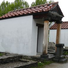
Loja-Kapelle
2.9 km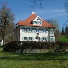
Pfarrhaus
188 m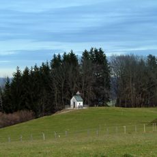
Kapelle
1.5 km
Sulzberger See
2.2 km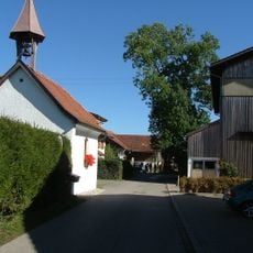
Ortskapelle
2.5 km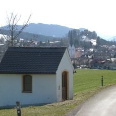
Wegkapelle
539 m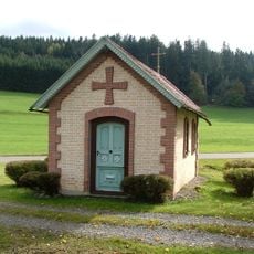
Wegkapelle
2.2 km
Burgstall Wachsenegg
1.5 km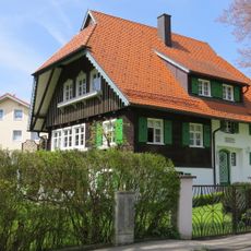
Wohnhaus
248 m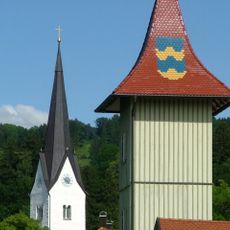
Feuerwehrhaus
310 m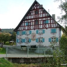
Aleuthe
1.1 km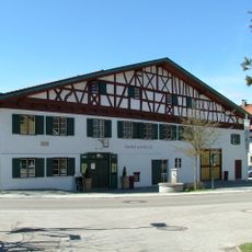
Ehemaliger Meierhof
242 m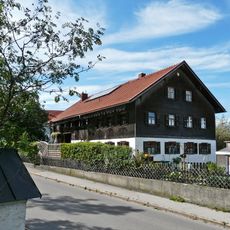
Ehemaliges Bauernhaus
318 m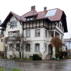
Kemptener Straße 4
219 m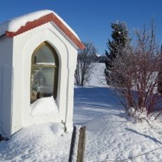
Bildstock
661 m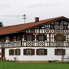
Bauernhaus
700 m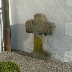
Sühnekreuz (Sulzberg)
175 m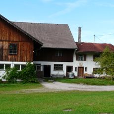
Wohnteil eines Bauernhauses
3.2 km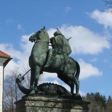
Denkmal
215 m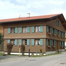
Ehemaliges Bauernhaus
2.4 km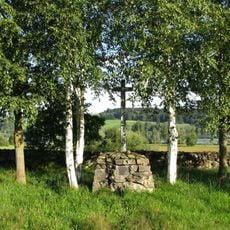
Pestfriedhof Petersthal
3.6 kmVisited this place? Tap the stars to rate it and share your experience / photos with the community! Try now! You can cancel it anytime.
Discover hidden gems everywhere you go!
From secret cafés to breathtaking viewpoints, skip the crowded tourist spots and find places that match your style. Our app makes it easy with voice search, smart filtering, route optimization, and insider tips from travelers worldwide. Download now for the complete mobile experience.

A unique approach to discovering new places❞
— Le Figaro
All the places worth exploring❞
— France Info
A tailor-made excursion in just a few clicks❞
— 20 Minutes