
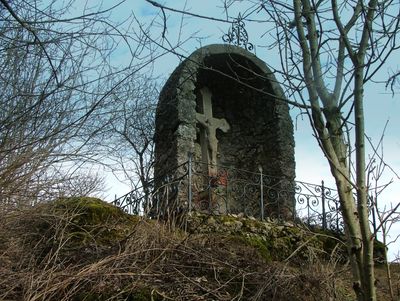
Steinernes Kreuz, am Sockel Wappen des Fürstabts Honorius Roth von Schreckenstein (1760–85), Sandstein, wohl zweite Hälfte 18. Jahrhundert;in Grottenarchitektur eingestellt
Location: Sulzberg
Address: Im Winkel der Straßen OA11 und A7
GPS coordinates: 47.67525,10.40393
Latest update: March 3, 2025 04:10
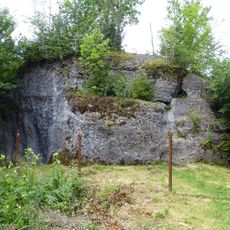
Dengelstein
3.9 km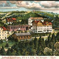
Jodbad Sulzbrunn
1.5 km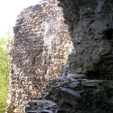
Burg Neuenburg (Durach)
3.7 km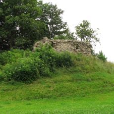
Burg Schöneberg
3.7 km
Pfarrhaus
1.2 km
St. Georg (Bodelsberg)
1.2 km
Pfarrhaus
4.3 km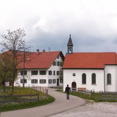
Katholische Kapelle Verklärung Christi
4.3 km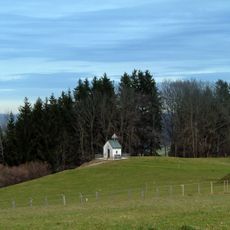
Kapelle
3.2 km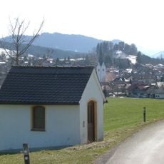
Wegkapelle
3.8 km
Burgstall Wachsenegg
3.5 km
Wohnhaus
4.2 km
Aleuthe
3.1 km
Bauernhaus
4.1 km
Ehemaliger Meierhof
4.4 km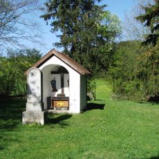
Pestfriedhof Mittelberg
4.4 km
Morauchelstein NNW von Bodelsberg
2.1 km
Cultural heritage D-7-8228-0022 in Durach
3.9 km
Ehemaliges Bauernhaus
4.4 km
Kemptener Straße 4
4.4 km
Ehemaliges Bauernhaus
4.3 km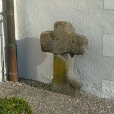
Sühnekreuz (Sulzberg)
4.3 km
Denkmal
4.3 km
Ehemalige Sölde
4.2 km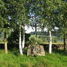
Pestfriedhof Petersthal
4.4 km
Ehemaliges Bauernhaus
2 km
Ensemble Ortskern Mittelberg
4.4 km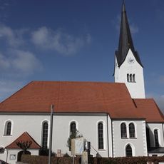
Pfarrkirche
4.3 kmReviews
Visited this place? Tap the stars to rate it and share your experience / photos with the community! Try now! You can cancel it anytime.
Discover hidden gems everywhere you go!
From secret cafés to breathtaking viewpoints, skip the crowded tourist spots and find places that match your style. Our app makes it easy with voice search, smart filtering, route optimization, and insider tips from travelers worldwide. Download now for the complete mobile experience.

A unique approach to discovering new places❞
— Le Figaro
All the places worth exploring❞
— France Info
A tailor-made excursion in just a few clicks❞
— 20 Minutes