
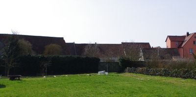
Ortsbefestigung, cultural heritage monument D-6-78-150-149 (0) in Kolitzheim, Bavaria
Location: Kolitzheim
Address: Rückwärts an Pfarrgasse 2, Herlindenstraße 25, 27 und Schulstraße 4
GPS coordinates: 49.92424,10.28684
Latest update: March 2, 2025 21:49
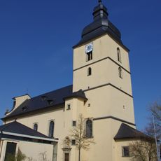
Pfarrkirche
74 m
St. Bartholomäus (Oberspiesheim)
2.5 km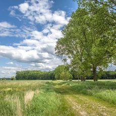
Herlheimer Wiesen
1.1 km
Bauernhof
93 m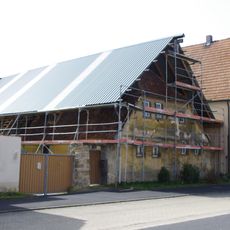
Bauernhof
162 m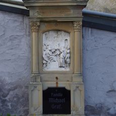
Kreuzwegstationen
96 m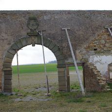
Gutshof
2.3 km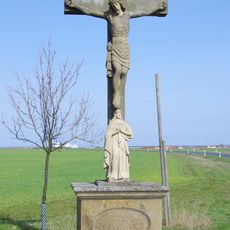
Kruzifix
530 m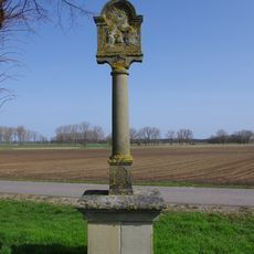
Bildstock
681 m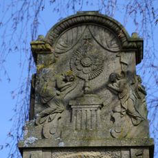
Bildstock
413 m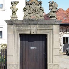
Pforte
147 m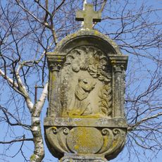
Bildstock
896 m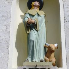
Heiligenfigur
111 m
Nepomuk-Figur
366 m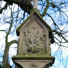
Bildstock
2.6 km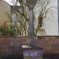
Bildstock
178 m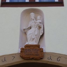
Ackerbürgerhaus
145 m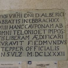
Inschriftentafel
129 m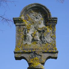
Kruzifix
333 m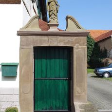
Pforte
106 m
Bildstock
254 m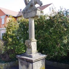
Kreuzschlepper
207 m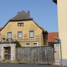
Bauernhaus
128 m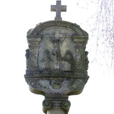
Bildstock
303 m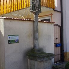
Bildstock
130 m
Bildstock
326 m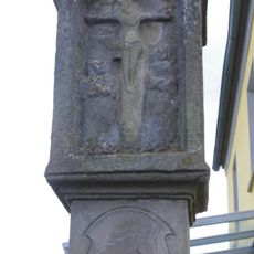
Bildstock
2.5 km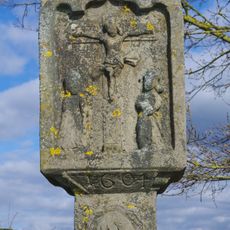
Bildstock
2.3 kmReviews
Visited this place? Tap the stars to rate it and share your experience / photos with the community! Try now! You can cancel it anytime.
Discover hidden gems everywhere you go!
From secret cafés to breathtaking viewpoints, skip the crowded tourist spots and find places that match your style. Our app makes it easy with voice search, smart filtering, route optimization, and insider tips from travelers worldwide. Download now for the complete mobile experience.

A unique approach to discovering new places❞
— Le Figaro
All the places worth exploring❞
— France Info
A tailor-made excursion in just a few clicks❞
— 20 Minutes