
Ehemaliges Wohnstallhaus, building in Neustadt an der Aisch, Middle Franconia, Germany
Location: Neustadt an der Aisch
Address: Birkenfelder Hauptstraße 20
GPS coordinates: 49.57286,10.56994
Latest update: March 17, 2025 13:40

Kloster Neustadt a.d. Aisch
2.5 km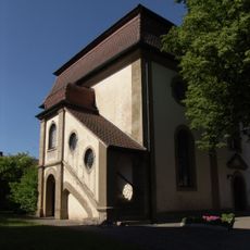
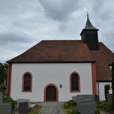
St. Katharina
557 m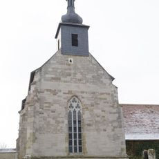
St. Maria (Birkenfeld)
158 m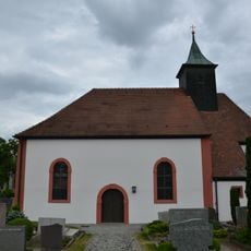
Zur Himmelfahrt Christi
2.5 km
St. Johannis Enthauptung
2.7 km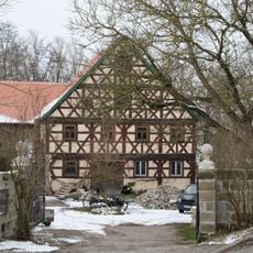
Ehemalige Klostermühle, Wohnhaus
132 m
Bahnhofstraße 21
2.4 km
Wilhelmstraße 12
2.8 km
Alleestraße 1
2.6 km
Bahnhofstraße 19
2.4 km
Würzburger Straße 21
2.8 km
Wilhelmstraße 22
2.7 km
Türsturz
34 m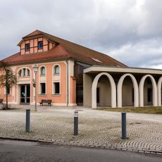
Städtische Turn- und Festhalle (Neustadt an der Aisch)
2.8 km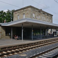
Bahnhof, Empfangsgebäude
1.4 km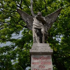
Kriegerdenkmal 1870/71
2.6 km
Hirtenturm
2.7 km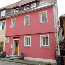
Kirchplatz 2, 2a
2.8 km
Peter-Kolb-Platz 4, 5
2.8 km
Würzburger Straße 20
2.8 km
Ludwigstraße 2
2.8 km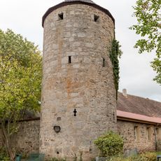
Pulverturm
2.6 km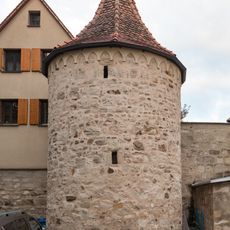
Schauflersturm
2.6 km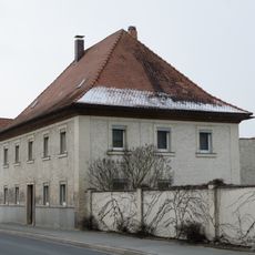
Wohnhaus
69 m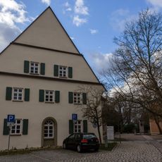
Hinteres Haus des Spitals
2.8 km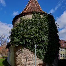
Torturm An der Bleiche
2.7 km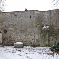
Stadtmauerverlauf
2.7 km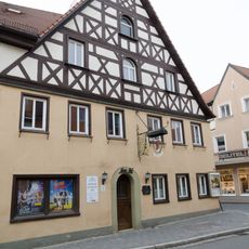
Wilhelmstraße 6
2.8 kmReviews
Visited this place? Tap the stars to rate it and share your experience / photos with the community! Try now! You can cancel it anytime.
Discover hidden gems everywhere you go!
From secret cafés to breathtaking viewpoints, skip the crowded tourist spots and find places that match your style. Our app makes it easy with voice search, smart filtering, route optimization, and insider tips from travelers worldwide. Download now for the complete mobile experience.

A unique approach to discovering new places❞
— Le Figaro
All the places worth exploring❞
— France Info
A tailor-made excursion in just a few clicks❞
— 20 Minutes