
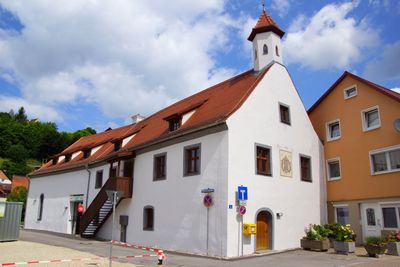
Ehemaliges Rathaus und Kommunbrauerei, building in Hohenfels, Upper Palatinate, Germany
Location: Hohenfels
Address: Turmgasse 5
GPS coordinates: 49.20377,11.84879
Latest update: March 3, 2025 09:57
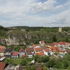
Burg Hohenfels
128 m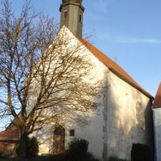
St. Helena
5.8 km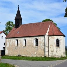
St. Michael
5.1 km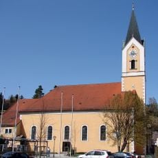
St. Ulrich in Hohenfels
89 m
Cultural heritage D-3-6736-0022 in Hohenfels (Oberpfalz)
3.8 km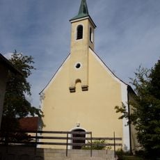
St. Ägidius
3.2 km
Burgstall Oedenthurn
5.2 km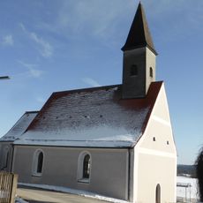
Heilige Dreifaltigkeit (Granswang)
4.6 km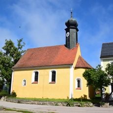
Katholische Nebenkirche St. Stephan
5.5 km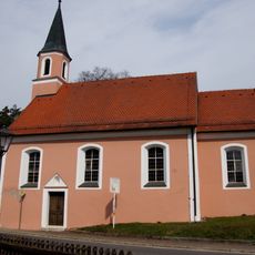
St. Sebastian (Hohenfels)
691 m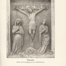
Kreuzigungsgruppe Nähe Dr.-Ernst-Weidinger-Straße in Hohenfels (Oberpfalz)
209 m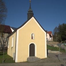
Wegkapelle Gegeißelter Heiland, sogenannte Schießstätt-Kapelle
301 m
Maria vom guten Rat
5 km
St. Dionysius (Effenricht)
3.5 km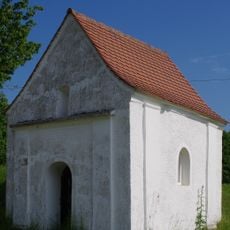
Wegkapelle
5.6 km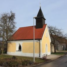
Hl. Dreifaltigkeit
5.8 km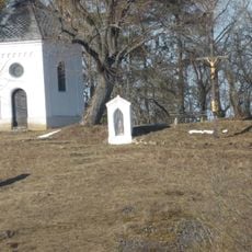
Klausenberg
395 m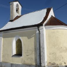
St. Maria
3.9 km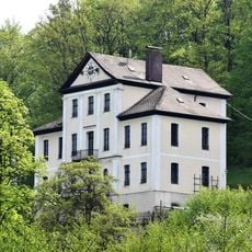
Fabrikantenvilla
5.7 km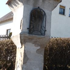
Bildstock Auf der Breiten
268 m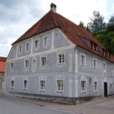
Ehemalige Tavernwirtschaft
47 m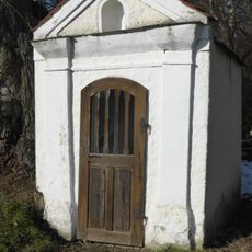
Hofkapelle Harrhof 1; Stallhofweg in Hohenfels (Oberpfalz)
671 m
Ammelhof
4.8 km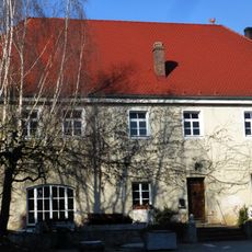
Ehemaliges Wohnstallhaus
706 m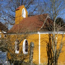
Hofkapelle Ammelhof 1 in Hohenfels (Oberpfalz)
4.9 km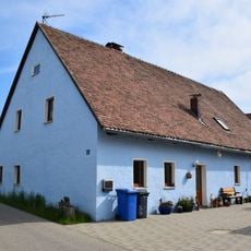
Wohnstallhaus, Haus 3
6.1 km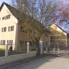
Schloss Lauf
5 km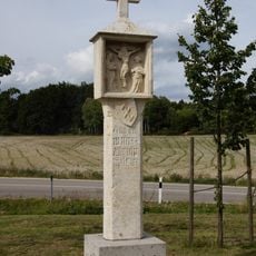
Bildstock, sogenannte Martersäule
3.1 kmVisited this place? Tap the stars to rate it and share your experience / photos with the community! Try now! You can cancel it anytime.
Discover hidden gems everywhere you go!
From secret cafés to breathtaking viewpoints, skip the crowded tourist spots and find places that match your style. Our app makes it easy with voice search, smart filtering, route optimization, and insider tips from travelers worldwide. Download now for the complete mobile experience.

A unique approach to discovering new places❞
— Le Figaro
All the places worth exploring❞
— France Info
A tailor-made excursion in just a few clicks❞
— 20 Minutes