
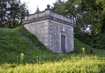
Ehemaliges Wasserwerk der Stadt Vilshofen
Ehemaliges Wasserwerk der Stadt Vilshofen, wasserhochbehälter, Massivbau teilweise unter Erdaufschüttung, mit Polygonalmauerwerk, Eckquaderung und Attikazone, bezeichnet mit 1895
Location: Vilshofen an der Donau
Address: Nähe Ortenburger Straße
GPS coordinates: 48.62383,13.19063
Latest update: March 5, 2025 23:38
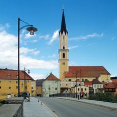
Sankt Johannes der Täufer in Vilshofen an der Donau
1 km
Wegkapelle, sogenannte Groll-Kapelle
997 m
Ehemalige Schwarzensteiner Kapelle, jetzt Wohnhaus
1 km
Gasthaus zum goldenes Lamm
1.1 km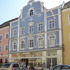
Wohn- und Geschäftshaus
1.1 km
Ehemaliges Parkhotel
760 m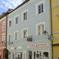
Wohn- und Geschäftshaus
1.1 km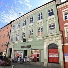
Wohn- und Geschäftshaus
1.1 km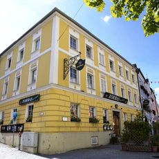
Gasthaus
1 km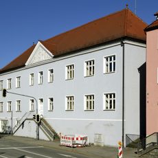
Ehemaliges Krankenhaus
746 m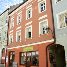
Wohn- und Geschäftshaus
1.1 km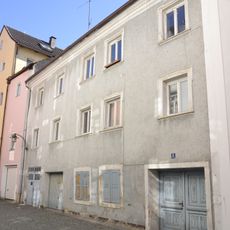
Wohnhaus
1.1 km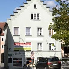
Wohnhaus
1.1 km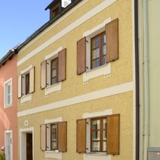
Wohnhaus
1 km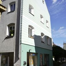
Wohnhaus
1.1 km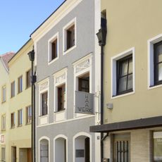
Wohn- und Geschäftshaus
1 km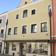
Wohn- und Geschäftshaus
996 m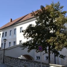
Pfarrhaus, ehemals Chorherrenstift
1.1 km
Wohnhaus
988 m
Wohnhaus
1.1 km
Reliefbüste eines Mannes
1 km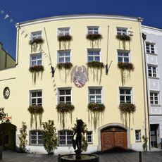
Town hall of Vilshofen an der Donau
1.1 km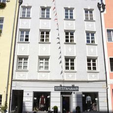
Ehemaliges Handwerkerhaus
1.1 km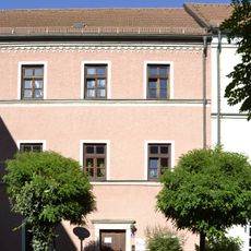
Wohnhaus
1.1 km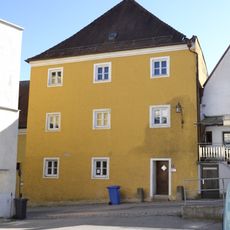
Ehemaliges Bruderhaus
1 km
Ehemaliges Bürgerspital
996 m
Gasthof Post
1.1 km
Wohn- und Geschäftshaus
1.1 kmVisited this place? Tap the stars to rate it and share your experience / photos with the community! Try now! You can cancel it anytime.
Discover hidden gems everywhere you go!
From secret cafés to breathtaking viewpoints, skip the crowded tourist spots and find places that match your style. Our app makes it easy with voice search, smart filtering, route optimization, and insider tips from travelers worldwide. Download now for the complete mobile experience.

A unique approach to discovering new places❞
— Le Figaro
All the places worth exploring❞
— France Info
A tailor-made excursion in just a few clicks❞
— 20 Minutes