
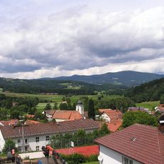
Kapelle, building in Kirchberg im Wald, Lower Bavaria, Germany
Location: Kirchberg
Address: Aufeld
GPS coordinates: 48.89076,13.13197
Latest update: October 25, 2025 21:49
Rusel
3.8 km
Hausstein
5 km
Todtenau und umgebende Auen
808 m
Cultural heritage D-2-7044-0001 in Bischofsmais
3 km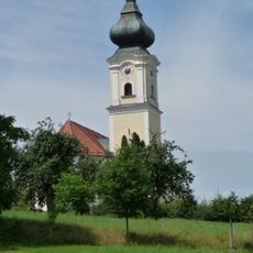
Katholische Pfarrkirche St. Stephan
4.9 km
St. Jakobus der Ältere
4.7 km
St. Gotthard (Kirchberg im Wald)
3.8 km
Katholische Wallfahrtskirche St. Bartholomäus
5.4 km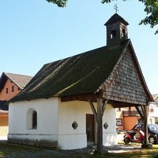
Ortskapelle
1.7 km
Ortskapelle
4.9 km
Todtenau
809 m
St. Bartholomäus
5.4 km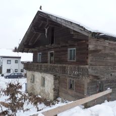
Wohnhaus eines ehemaligen Dreiseithofs
4 km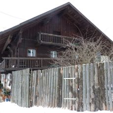
Wohnstallhaus, ehemaliges Inhaus zum Gasthof
4 km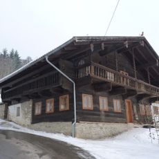
Wohnhaus, ehemaliger Gasthof
3.9 km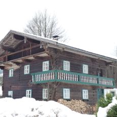
Mitterstallhaus
5.1 km
Grabmal Ebenhof 4 in Regen (Stadt)
5.3 km
Todtenau und Gföhretwiesen bei Zell
1.2 km
Kriegerdenkmal In Seiboldsried vorm Wald in Bischofsmais
1.9 km
Streuobsterlebnispfad Panholling
4.4 km
Statue, Work of art
5 km
Königstein
5.2 km
Scenic viewpoint
2.8 km
Scenic viewpoint
1.4 km
Scenic viewpoint
4.6 km
Scenic viewpoint
4.1 km
Scenic viewpoint
4.8 km
Scenic viewpoint
4.8 kmReviews
Visited this place? Tap the stars to rate it and share your experience / photos with the community! Try now! You can cancel it anytime.
Discover hidden gems everywhere you go!
From secret cafés to breathtaking viewpoints, skip the crowded tourist spots and find places that match your style. Our app makes it easy with voice search, smart filtering, route optimization, and insider tips from travelers worldwide. Download now for the complete mobile experience.

A unique approach to discovering new places❞
— Le Figaro
All the places worth exploring❞
— France Info
A tailor-made excursion in just a few clicks❞
— 20 Minutes