
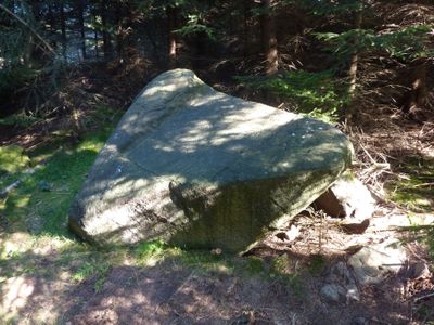
Gedenkstein, Ortsgeschichtlich von Bedeutung, nach 2014 von der Denkmalliste gestrichen
Location: Cunewalde
Inception: 1750
Address: (auf dem Bieleboh, ca. 400 m nordwestlich des Gipfels)
GPS coordinates: 51.08220,14.51414
Latest update: April 21, 2025 16:25
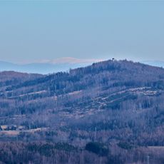
Bieleboh
535 m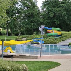
Freibad Cunewalde
1.5 km
Teichstraße 6
1.5 km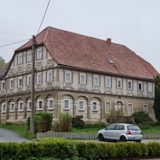
Hauptstraße 76
1.7 km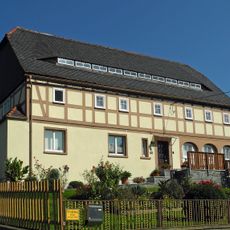
Erlenweg 41
1.8 km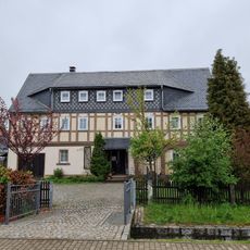
Hauptstraße 43
1.8 km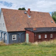
Heidelbergstraße 37
1.6 km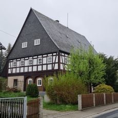
Hauptstraße 62
1.8 km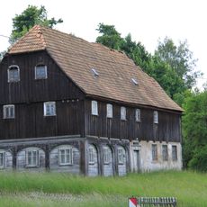
Hauptstraße 114
1.6 km
Erntekranzweg 4
1.5 km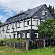
An der Gebirgsschänke 1
1.4 km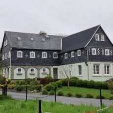
Hauptstraße 88
1.7 km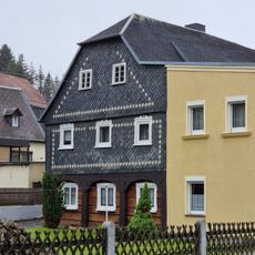
Hauptstraße 104
1.7 km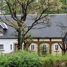
Erlenweg 32
1.7 km
Haltepunkt Mittelcunewalde (am Kilometer 6,74)
1.3 km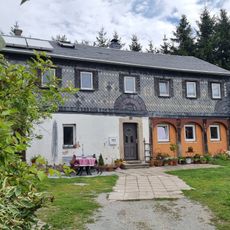
Heidelbergstraße 30
1.6 km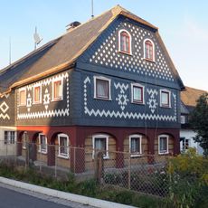
Finkengasse 9
1.8 km
Heidelbergstraße 40
1.5 km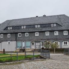
Hauptstraße 47
1.8 km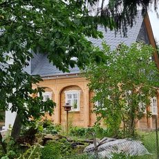
An der Plantage 2
1.4 km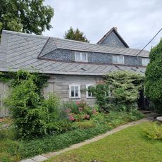
An der Plantage 4
1.4 km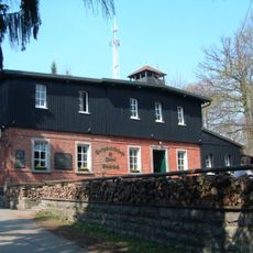
Bergwirtschaft Bieleboh; Bielebohbaude; Aussichtsturm und Gaststätte auf dem Bieleboh Bielebohstraße 18 (auf dem Bieleboh)
568 m
Teichstraße 5
1.5 km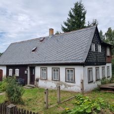
Wohnhaus Teichstraße 3
1.5 km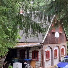
Teichstraße 1
1.5 km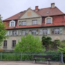
Wohnhaus mit Postamt, dazu Einfriedung Hauptstraße 55
1.8 km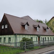
Ländliches Wohnhaus mit rückwärtigem Anbau und Handschwengelpumpe Hauptstraße 68
1.7 km
Wohnhaus und Nebengebäude (Neuapostolische Kirche) Hauptstraße 66
1.7 kmVisited this place? Tap the stars to rate it and share your experience / photos with the community! Try now! You can cancel it anytime.
Discover hidden gems everywhere you go!
From secret cafés to breathtaking viewpoints, skip the crowded tourist spots and find places that match your style. Our app makes it easy with voice search, smart filtering, route optimization, and insider tips from travelers worldwide. Download now for the complete mobile experience.

A unique approach to discovering new places❞
— Le Figaro
All the places worth exploring❞
— France Info
A tailor-made excursion in just a few clicks❞
— 20 Minutes